What is recorded here
Indicated is a vanished Limerick ringfort, reduced in 1942 to a collapsed twelve-inch stone chord and later erased from aerial views entirely. It may have stood as an ordinary cashel, hosting lives so brief they never entered legend, or it may have been a boundary marker for realities that fold around Limerick like weather. Either way, the land keeps its shape in absence, waiting for a human witness stubborn enough to notice the missing circle.
Stone fort described in 1942-3 as following; 'This is a circular open space enclosed by a stone bank. It is now very collapsed and no facing stones are visible. It remains to a height of about 1' [0.3m]. The entrance is not recognisable. A chord of the structure has been cut off by a modern fence. Overall diameter is 120' [40m]' (O'Kelly 1942-3, 244). Not visible today on Digital Globe aerial coverage.
Compiled by: Caimin O'Brien
Date of upload: 9 March 2020
The monument record does not grant public access. Check the route and ask the landowner before entering private land.
- What survives
- Recorded monument
Places near here
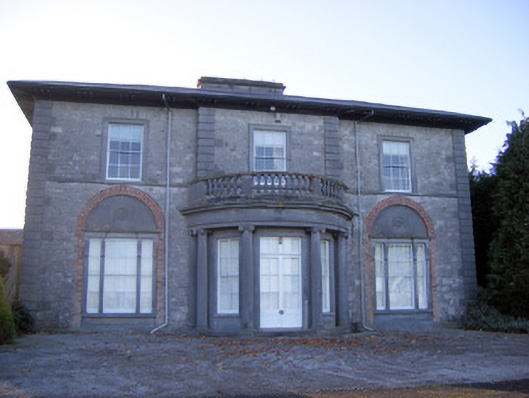 Kilpeacon Housecountry house · 523 yd
 St. Patricks WellHoly well · 602 yd
 Enclosure in KilpeaconEnclosure · 678 yd
 Saint Beacon's Church (Kilpeacon)church/chapel · 785 yd
 Villiers WellSpring · 820 yd
 (Site of) Garryellen CastleCastle, unclassified · 1.1 mi
 Dotted outlineBawn · 1.1 mi
 Monasteranenagh AbbeyHeritage attraction · 3.9 mi
 Biodiversity in the Maigue CatchmentVisitor information · 4.8 mi
 European ashEuropean ash · 5.0 mi
 Dysert AenghusaHeritage attraction · 5.5 mi
 Grass IslandIslet · 9.8 mi