What is recorded here
Excavated in advance of the realignment of the N76 Callan Road (Excavation licence number 15E0567) (Hull 2016). An enclosure (KK023-005----) is located c. 100m to the NE).
A keyhole-shaped kiln consisting of a circular chamber (diam. 1.2m; D 0.2m) (ibid. 9). The partially stone-lined flue (D 0.25m) widened from the junction with chamber (Wth 0.36m) to a globular fire bowl (Wth 1.05m; D 0.25m) at the SW (L of flue and fire bowl 3.4m) (ibid.). The kiln appears to have been well cleaned out after its final use (ibid. 19). However, there were several fill layers, though little identifiable charred wood was recovered, with small amounts of oak and hazel (ibid.). There were also deposits of charred cereal grain, predominantly oat, with some barley and wheat (ibid.). A radiocarbon determination (UBA-32412, 938±41 BP) from a charred oat grain gave a date of cal. AD 1020-1186, in the 11th to 12th centuries AD (ibid. 10).
Reference:
Hull, G. 2016 N76 Callan Road realignment, Co. Kilkenny. Archaeological Consultancy Services. 15E0567, Raheenapisha 1. Stage (iv) final archaeological excavation report for Kilkenny County Council. Unpublished.
Compiled by: Jean Farrelly
Date of upload: 15 March 2023
The monument record does not grant public access. Check the route and ask the landowner before entering private land.
- What survives
- Recorded monument
Places near here
 Enclosure in RaheenapishaEnclosure · 165 yd
 Enclosure in ParkmoreEnclosure · 442 yd
 The N76 Callan Road Realignment SchemeMemorial · 891 yd
 Church in Castleinch OR InchyolaghanChurch · 927 yd
 Castle (in ruins)Castle, unclassified · 977 yd
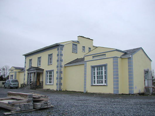 Tinnypark Househouse · 982 yd
 Castle BamfordCastle, tower house · 1262 yd
 Jamie BroderickMemorial · 1603 yd
 HawthornHawthorn · 1715 yd
 Millennium WoodWood · 1.5 mi
 River LifeVisitor information · 2.1 mi
 The FordVisitor information · 2.1 mi