
What is recorded here
In tillage. Indicated on the 1st (1839) ed. OS 6-inch map as a circular enclosure on a small hill, with a pond (dims. c. 70m NW-SE; c. 45m NE-SW) c. 30m to the N. On the 1947 revision of the OS 6-inch map the pond appears to have been drained as there are trees indicated within it. The monument had been levelled between 1947 and 1963, as on an aerial photograph of that year (CUCAP AID082, 22 July 1963) the enclosure is visible as a cropmark. The enclosure (int. diam. c. 45m; overall diam. c. 60m), with surrounding fosse, is also clearly visible as a cropmark on satellite imagery (Digitalglobe, viewed 31 May 2021), with a possible entrance in the E-SE sector.
See attached:
KK023-004----_01 aerial photograph (CUCAP AID082, 22 July 1963)
KK023-004----_02 satellite imagery (Digitalglobe, viewed 31 May 2021)
Compiled by: Jean Farrelly
Date of upload: 31 May 2021
The monument record does not grant public access. Check the route and ask the landowner before entering private land.
- What survives
- Recorded monument
Places near here
 Enclosure in RaheenapishaEnclosure · 408 yd
 The N76 Callan Road Realignment SchemeMemorial · 488 yd
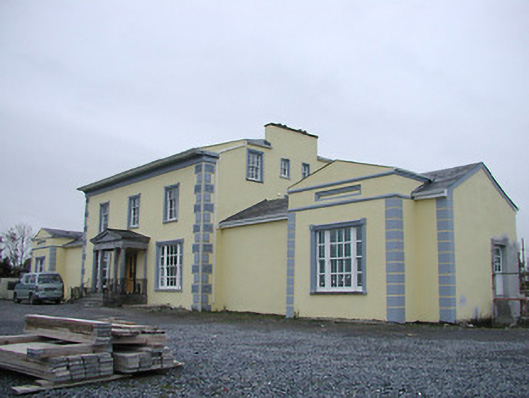 Tinnypark Househouse · 541 yd
 Grave YardGraveyard · 795 yd
 Church in Castleinch OR InchyolaghanChurch · 799 yd
 Castle (in ruins)Castle, unclassified · 874 yd
 Castle BamfordCastle, tower house · 1022 yd
 Richie DelaneyMemorial · 1246 yd
 HawthornHawthorn · 1.1 mi
 Millennium WoodWood · 1.5 mi
 River LifeVisitor information · 1.9 mi
 The FordVisitor information · 1.9 mi
Other information
Photo: Credit not shown in the picture search · Rights wording not checked; contact us if this picture should be removed