What is recorded here
Grave Yard preserves the vanished Kilmoon church inside a D-shaped wall on a gentle Meath slope. Most stones mark lives from 1830 to 2000, yet one bears 1767, proving the ground held dead and memory before the present parish arrived. Two rescued window fragments sit among the graves like broken light saved from demolition. The curve at the east may have followed a doorway, nave or simply the line of a field, but the wall still draws a room around what the church gave up.
Situated on a gentle NE-facing slope. The site of the medieval parish church of Kilmoon (ME038-006----) is in a D-shaped graveyard (dims c. 47m E-W; c. 45m N-S) defined by masonry walls, with the perimeter curved at E. The headstones date mostly from c. 1830 to c. 2000, but one has the date 1767. Two pieces of window surround (H 0.68m; 1.05m), the smaller with hollow chamfers, are in the graveyard. Archaeological testing (15E0132) by P. David Sweetman c. 35m NW of the graveyard and c. 50m SW of it at the closest points produced no related archaeological material (Sweetman 2015).
Compiled by: Michael Moore
Date of upload: 11 March, 2015
Amended: 3 February 2021
The monument record does not grant public access. Check the route and ask the landowner before entering private land.
- What survives
- Recorded monument
Places near here
 St. Munnas ChurchChurch · 12 yd
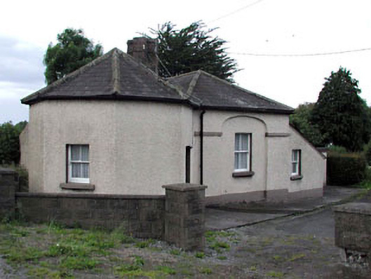 toll housetoll house · 757 yd
 Enclosure in Irishtown (skreen By., Kilmoon Par.)Enclosure · 1077 yd
 IndicatedCeremonial enclosure · 1398 yd
 Macetown CastleCastle, tower house · 1.6 mi
 Emerald ParkHeritage attraction · 1.7 mi
 Lemur WoodWood · 1.7 mi
 Newtown HillMountain / peak · 1.8 mi
 PuddenhillHeritage attraction · 1.8 mi
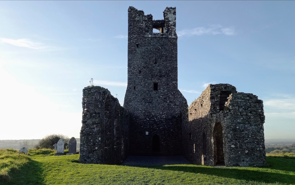 CastleCastle, motte · 1.9 mi
 Newtown GorseWood · 2.0 mi
 Candle HillMountain / peak · 3.8 mi