What is recorded here
Kilmoney North holds a seventy-metre circular scar hidden beneath modern tillage, visible only when crop marks trace its lost bank and fosses. This earthen ringfort stood beside a medieval field system, suggesting people lived, worked and perhaps fled within that shallow circle before ploughing erased its edges. It is a ghost house now, waiting for rain or photography to remind the land it once had walls.
Aerial photographs (CUCAP ATA 67 (1967); GSI N 425/426) show a circular area (est. max. diam c. 70m) defined by the crop mark of a bank, possibly with an internal and external fosse. In level tillage, immediately E of a possible medieval field system (KD017-018001-). The monument is not visible at ground level.
Compiled by: Gearóid Conroy
Date of upload: 10 June 2011
The monument record does not grant public access. Check the route and ask the landowner before entering private land.
- What survives
- Recorded monument
Places near here
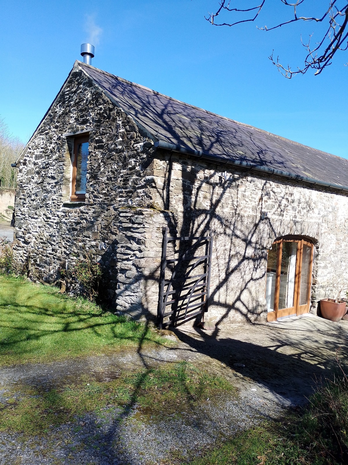 Enclosure in Kilmoney NorthEnclosure · 162 yd
 Church in Kilmoney NorthChurch · 347 yd
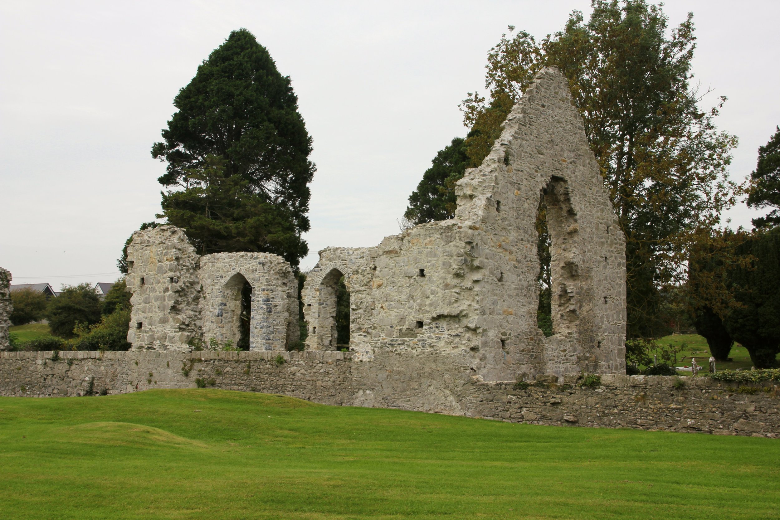 Site of Cloncurry ChurchChurch · 1303 yd
 Cappanargid Church (in ruins)Church · 1.0 mi
 Chair of KildareCastle, unclassified · 1.8 mi
 Bithia Mary CrokerMemorial · 2.2 mi
 Site of CastleCastle, tower house · 2.4 mi
 Community OrchardNature reserve · 2.5 mi
 Killinthomas Wood (Rathangan)Wood · 2.6 mi
 Lullymore Heritage ParkHeritage attraction · 3.2 mi
 The Fairy BowerHeritage attraction · 3.2 mi
 Grand Canal WayVisitor information · 6.2 mi