
What is recorded here
In a possible ecclesiastical enclosure (KD017-018003-). According to local tradition, a church once stood in the enclosure. No visible surface trace survives. The 'Kil' element of the townland name suggests the presence of a church somewhere in the townland, and the field containing the possible ecclesiastical enclosure is named 'Glebe' (ie church land) on the 1st. ed. (1838) of the OS 6-inch map.
Compiled by: Gearóid Conroy
Date of upload: 10 June 2011
The monument record does not grant public access. Check the route and ask the landowner before entering private land.
- What survives
- Recorded monument
Places near here
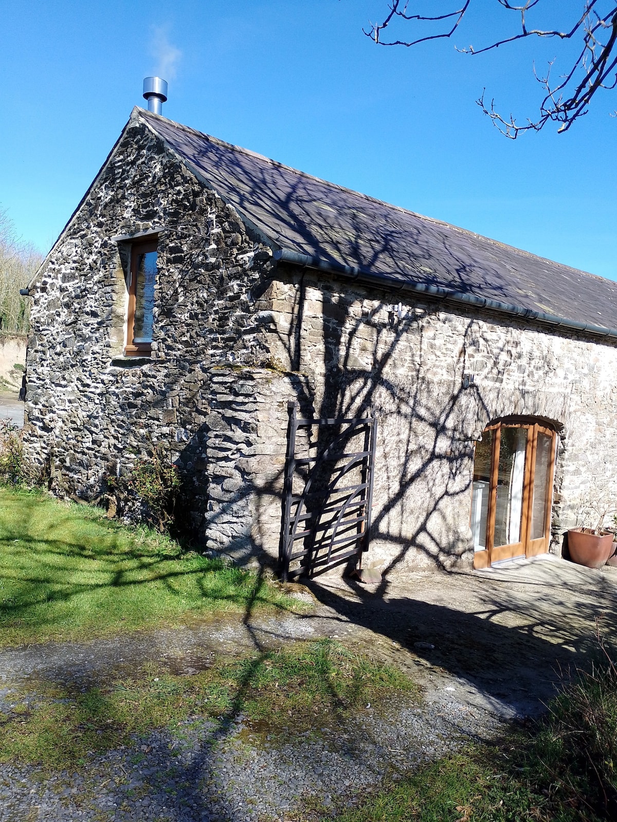 Enclosure in Kilmoney NorthEnclosure · 188 yd
 Enclosure in BoherkillEnclosure · 1488 yd
 Cappanargid Church (in ruins)Church · 1.1 mi
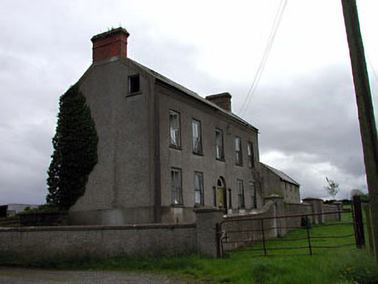 Bushfield Househouse · 1.2 mi
 Chair of KildareCastle, unclassified · 1.8 mi
 Bithia Mary CrokerMemorial · 2.0 mi
 Site of CastleCastle, tower house · 2.2 mi
 Community OrchardNature reserve · 2.3 mi
 Killinthomas Wood (Rathangan)Wood · 2.5 mi
 The Fairy BowerHeritage attraction · 3.3 mi
 Lullymore Heritage ParkHeritage attraction · 3.3 mi
 Grand Canal WayVisitor information · 6.4 mi
Other information
Photo: Credit not shown in the picture search · Rights wording not checked; contact us if this picture should be removed