What is recorded here
Indicated is a prehistoric field system on Kilmashogue Mountain where drystone walls cut across the slopes like a forgotten map. A large circular enclosure sits on the northern plateau, radiating boundaries into the hillside while peat slowly buries the edges. The scale and nearby ancient tombs suggest people shaped this landscape long before written records, creating a unique geometric order still visible beneath the moss.
These partially peat-covered features are located on the N and W slopes of Kilmashogue Mountain. They comprise a network of drystone-built walls stretching for c. 1km. The main axis of the earlier co-axial system runs NW-SE cutting across the contours with a focus, on the summit. The second system radiates from a subcircular enclosure in a naturally level platform on the N slopes of the mountain. This impressive enclosure (int. diam. c. 60m) is defined by a drystone-built wall (Wth 2m; H 1m). The interior has uneven stony areas. Aerial photographic coverage of the site indicates a central internal enclosure (OS Flight 9, 2271). There is an opening in the NW. Field walls radiate from the enclosure at the NE, SSE, SSW and W and across the main field system running NW-SE (Cooney 1985, 28-30). The scale of the earlier co-axial field system and the occurrence of megalithic tombs in the vicinity suggests that it is of prehistoric date and unique within the county.
Compiled by: Geraldine Stout and Padraig Clancy
Revised upload on: 28 July 2018
The monument record does not grant public access. Check the route and ask the landowner before entering private land.
- What survives
- Recorded monument
Places near here
 Enclosure in KilmashogueEnclosure · 11 yd
 KilmashogueMountain / peak · 81 yd
 Calbeck CastleRuins · 552 yd
 Kilmashogue ForestForest · 571 yd
 Kilmashogue Wedge TombArchaeological place · 942 yd
 Telshaun HillMountain / peak · 1354 yd
 Larch Hillicehouse · 1372 yd
 Ticknock WoodForest · 1378 yd
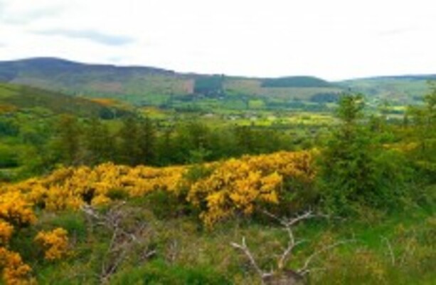 Dublin Mountains WayWalking route · 1389 yd
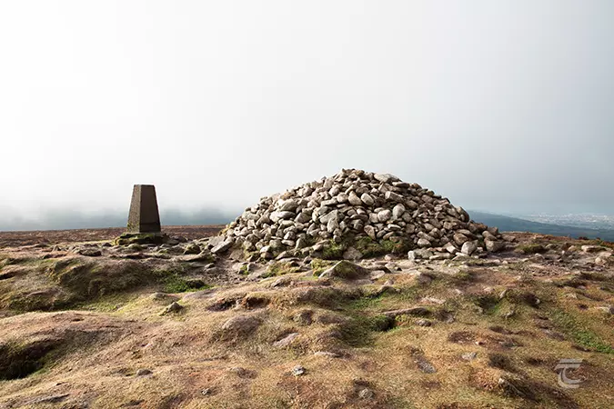 Ticknock - Fairy Castle LoopWalking route · 1578 yd
 Danesmoatecountry house · 1722 yd
 Dublin Mountain Way informationVisitor information · 1.3 mi