What is recorded here
Seventeen centuries of rain erased the walls, but seven post-holes and a linear scar of charcoal still mark the footprint in Kilmacredock Upper. The habitation site in Kilmacredock Upper waited beneath pasture and topsoil until road works exposed its small geometry in 2001. It is not a grand hall or named household, yet it preserves the ordinary fact that people stood there, worked there and left burning traces behind.
In 2001, eighteen potential archaeological sites were found during archaeological monitoring (Licence no. 01E0306) of topsoil-stripping on the Celbridge Interchange. The scheme was approximately 4km in length and ran from Celbridge to Leixlip through gently undulating land with a mixture of arable, pasture and woodland. The southern part of the scheme ran through an area heavily influenced by 18th-century landscape design, with avenues, woodland and tree-lined field boundaries centred on the early 18th-century house at Castletown.
The site (Site 6) measured 7m by 12m and was visible as seven possible post-holes and a linear feature at monitoring stage. These were identified by charcoal flecks and burnt stone. It was resolved under licence number 01E0596. (www.excavations.ie)
Compiled by: Gearóid Conroy
Date of upload: 10 June 2011
The monument record does not grant public access. Check the route and ask the landowner before entering private land.
- What survives
- Recorded monument
Places near here
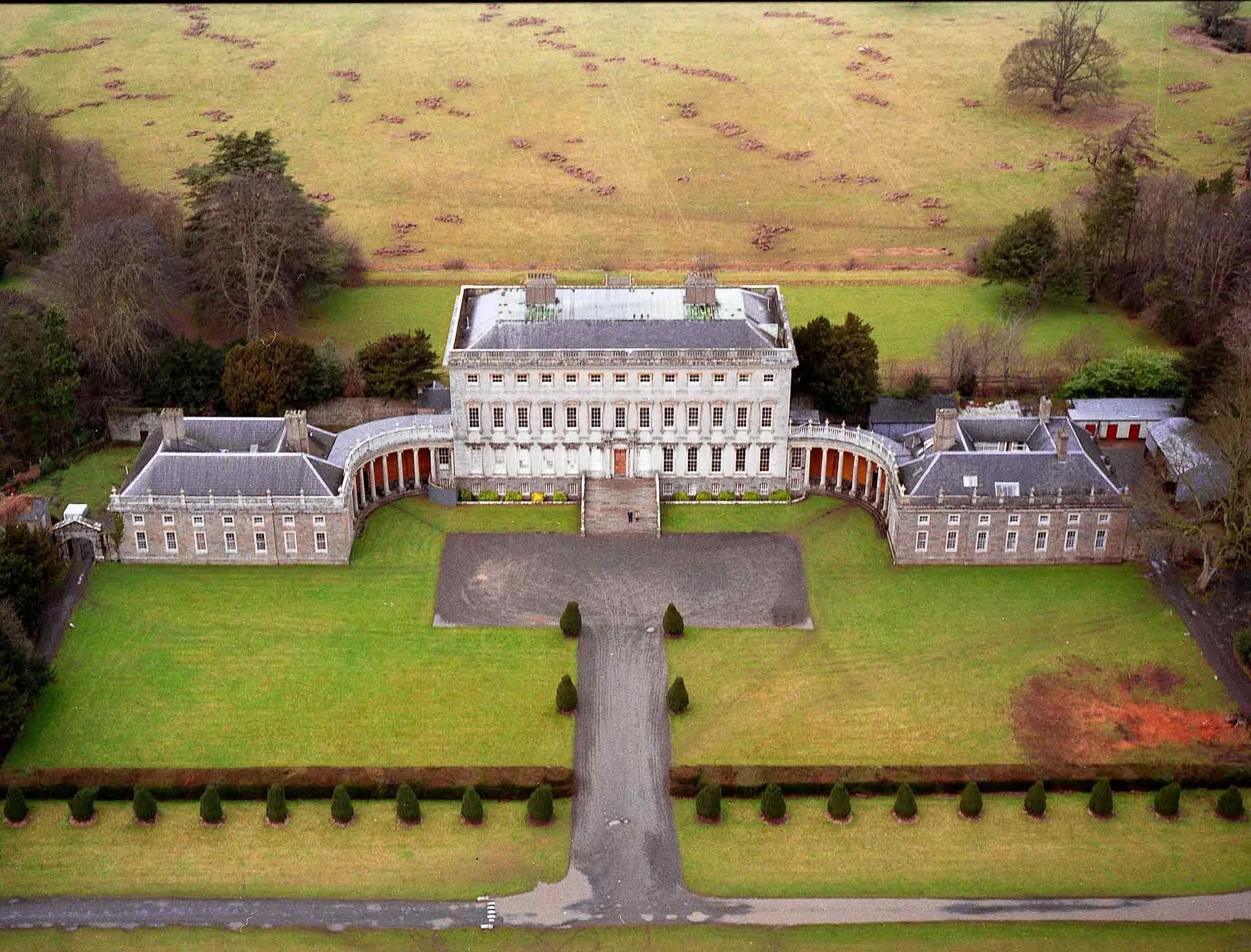 Enclosure in CastletownEnclosure · 167 yd
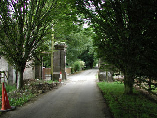 Castletowndemesne walls/gates/railings · 587 yd
 Church (in Ruins)Church · 618 yd
 Ecclesiastical enclosure in Kilmacredock UpperEcclesiastical enclosure · 627 yd
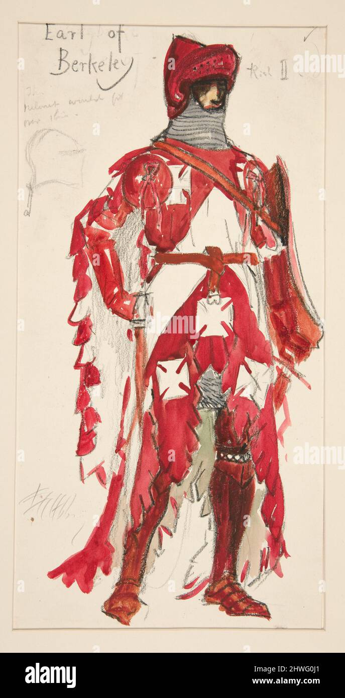 Berkeley Costume and Toy CollectionMuseum · 1361 yd
 Castletown HouseHeritage attraction · 1387 yd
 CastleCastle, unclassified · 1498 yd
 Natalie MurrayMemorial · 1.1 mi
 Batty Langley WoodsForest · 1.2 mi
 Common LimeCommon Lime · 1.3 mi
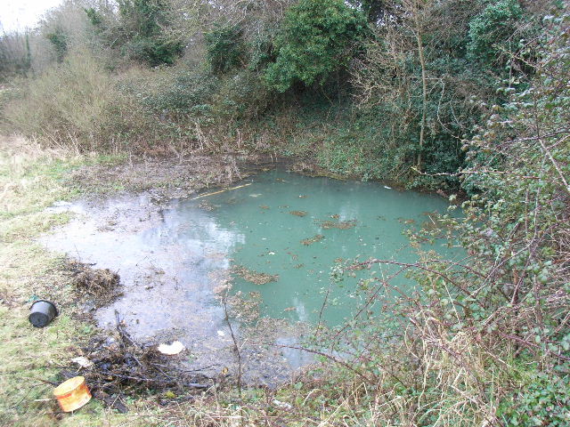 Leixlip Spa - SpringSpring · 1.3 mi
 Arthur GuinessMemorial · 1.4 mi