What is recorded here
In level pasture. Depicted as hachured roughly circular enclosure (diam. c. 80m) on 1842, 1905 and 1937 OS 6-inch maps; perimeter of interior planted with trees on 1842 OS 6-inch map. Levelled; circular area (87m E-W; 79m N-S) survives enclosed by low wide grass-covered earthen bank. Break (Wth 28m) in bank to E. Interior saucer-shaped; no internal features noted. Outside break and adjoining enclosure on E side is D-shaped annexe. Annexe (36m N-S; 35m E-W) survives as platform (H 0.45m) with barely perceptible external fosse. Circular enclosure and annexe visible as cropmark in aerial photograph (CASAP).
The above description is derived from the published 'Archaeological Inventory of County Cork. Volume 4: North Cork' (Dublin: Stationery Office, 2000). In certain instances the entries have been revised and updated in the light of recent research.
Date of upload/revision: 14 January 2009
The monument record does not grant public access. Check the route and ask the landowner before entering private land.
- What survives
- Recorded monument
Places near here
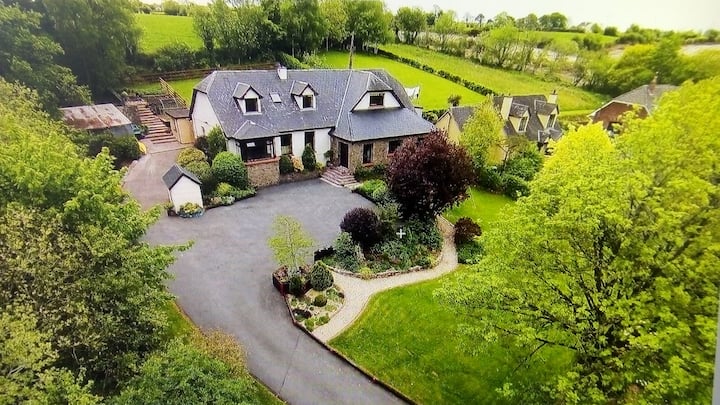 Fort WilliamHouse, vernacular house · 360 yd
 Kilmacoomgates/railings/walls · 394 yd
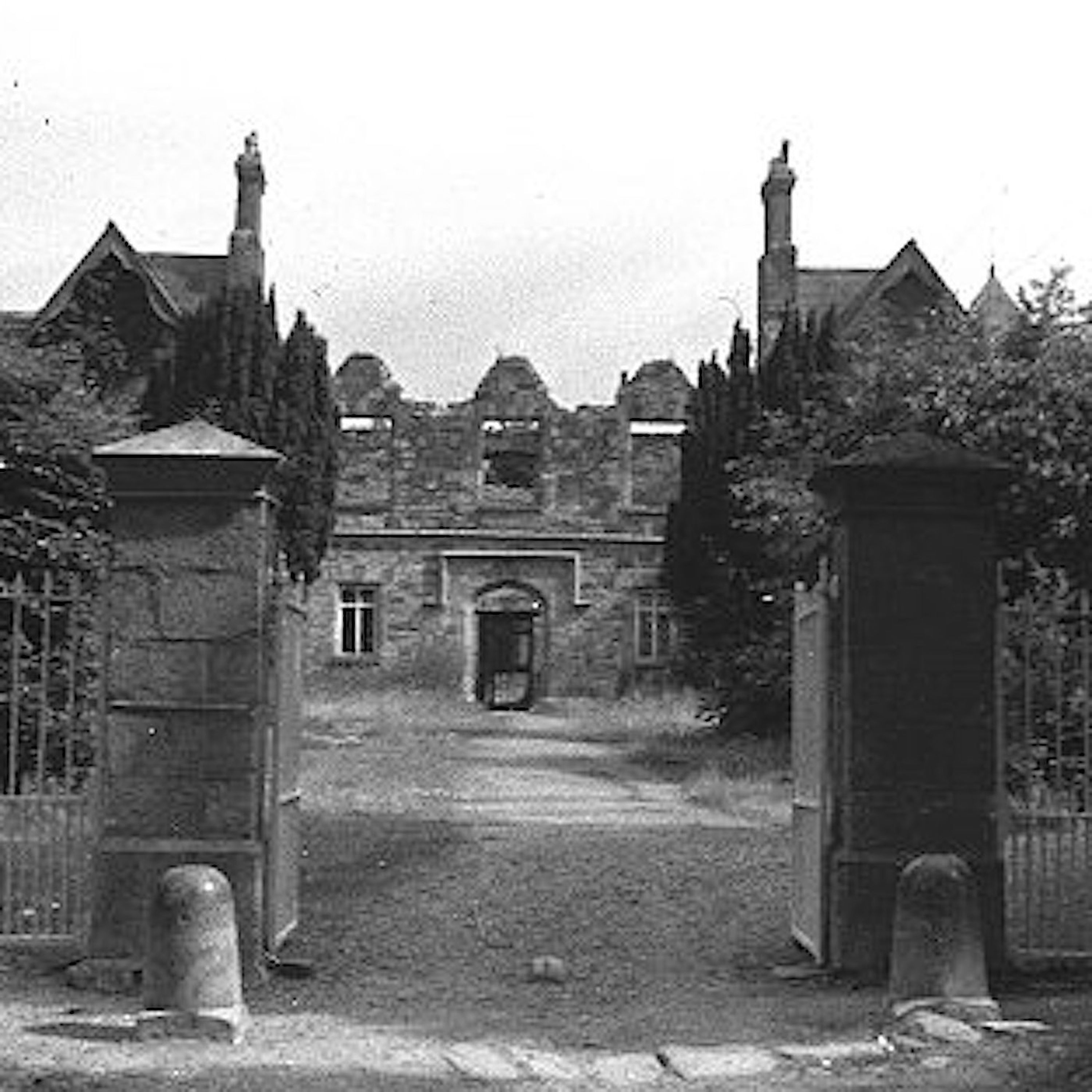 Enclosure in Clogheen (fermoy By.)Enclosure · 418 yd
 Caherduggan Castle (Site of)Castle, unclassified · 655 yd
 IndicatedQuarry · 1076 yd
 CastleCastle, unclassified · 1.6 mi
 Scots PineScots Pine · 1.8 mi
 Doneraile HouseHeritage attraction · 2.0 mi
 European YewEuropean Yew · 2.0 mi
 Smith's WellSpring · 2.2 mi
 In loving memory of Elvis O'DonoghueMemorial · 4.8 mi
 Mallow River TrailVisitor information · 4.9 mi