What is recorded here
Located just off the crest of the S-facing slope of the broad summit of a drumlin. This is an oval grass-covered area (dims 54m NW-SE; 45.5m NE-SW) that slopes down to the SE and is defined by an earthen bank W-NE and a scarp (H 0.6-1.2m) elsewhere. The perimeter is planted with a hedge SE-W-NW and the fosse (at NE: Wth of base 3.2m; D 0.4m) NW-NE is replaced by an outer field drain SE-W-NW. There is a modern gap at NNW but the original entrance is not identified.
The above description is derived from the published 'Archaeological Inventory of County Monaghan' (Dublin: Stationery Office, 1986). In certain instances the entries have been revised and updated in the light of recent research.
Revised by: Michael Moore
Date of revision: 20 June 2018
The monument record does not grant public access. Check the route and ask the landowner before entering private land.
- What survives
- Recorded monument
Places near here
 Fairy fort / earthen ringfort in Aghareagh EastFairy fort / earthen ringfort · 1039 yd
 Hilltop enclosure in MagherashaghryHilltop enclosure · 1109 yd
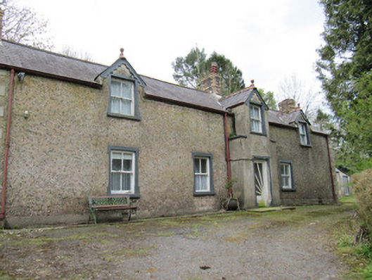 Violet Valehouse · 1233 yd
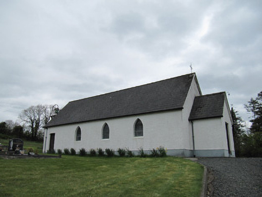 Corrinshigo Catholic Churchchurch/chapel · 1614 yd
 BarraghMountain / peak · 1.1 mi
 CortoberMountain / peak · 2.0 mi
 Whitelough PlantationsForest · 2.3 mi
 Bawn in DrumsheilBawn · 2.5 mi
 Church WoodForest · 2.5 mi
 Site of Old CastleCastle, unclassified · 3.6 mi
 Giant's GraveArchaeological place · 3.8 mi
 Graveyard in Drumgoon (clankee By.)Graveyard · 6.4 mi