What is recorded here
Fairy fort in Killygone, County Monaghan: an oval grass ring, 41m by 33m, on a drumlin rise, its earthen bank partly swallowed by field wall and hedge. People may have lived there before boundaries were drawn, then forgot the door and kept only the shape. The land remembered what the village stopped naming.
Located on a rise towards the bottom of the S-facing slope of an E-W drumlin ridge. This rath is probably the feature depicted on McCrea’s map of County Monaghan (1793) W of Corkeeran townland, and it is depicted on the 1834 and 1907 editions of the OS 6-inch map. It is an oval grass-covered area (dims 41m N-S; 33m E-W) defined by an earthen bank incorporated into a field bank and hedge (ext. H 1.8m at SE) that is reduced to a scarp overlain by a field wall and hedge WNW-NNE. There is no visible fosse, and the outer face of the bank is stone-lined SE-WNW. The original entrance is not identified.
The above description is derived from the published 'Archaeological Inventory of County Monaghan' (Dublin: Stationery Office, 1986). In certain instances the entries have been revised and updated in the light of recent research.
Revised by: Michael Moore
Date of revision: 8 May 2018
The monument record does not grant public access. Check the route and ask the landowner before entering private land.
- What survives
- Recorded monument
Places near here
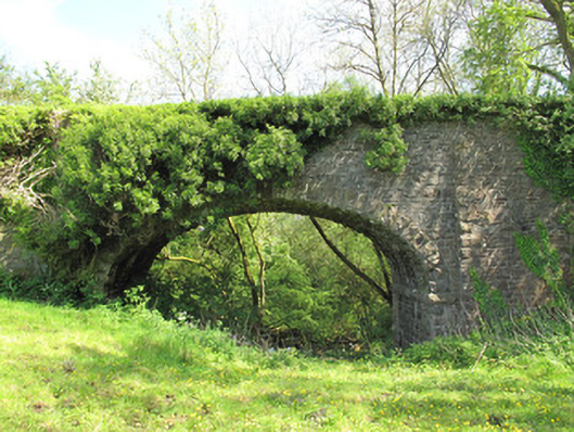 bridgebridge · 412 yd
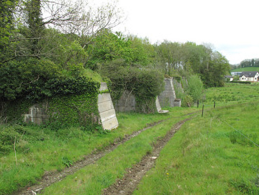 viaductviaduct · 832 yd
 Old fortFairy fort / earthen ringfort · 838 yd
 Grave YardGraveyard · 975 yd
 Common LimeCommon Lime · 1369 yd
 KillycoonaghWood · 1760 yd
 Saint John's WellSpring · 1.1 mi
 Roosky Castle (Site of)Castle, ringwork · 2.4 mi
 Abbey RuinsHeritage attraction · 2.7 mi
 Lisarrilly HillMountain / peak · 2.7 mi
 The Cassandra Hand CentreMuseum · 2.8 mi
 Jaundice WellSpring · 2.9 mi