What is recorded here
Close to the summit of Knocknadobar and commanding a spectacular view of the surrounding landscape from SE to N. The ruined foundations of a triangular structure whose walls corbel slightly and average 4.3m long and 1.5m wide. Collapse obscures the interior.
The above description is derived from A. O'Sullivan and J. Sheehan (compilers), 'The Iveragh peninsula: an archaeological survey of South Kerry'. Cork University Press (1996), no. 1335. In certain instances the entries have been revised and updated in the light of recent research.
Date of upload: 1 August 2013
The monument record does not grant public access. Check the route and ask the landowner before entering private land.
- What survives
- Recorded monument
Places near here
 KnocknadobarMountain / peak · 533 yd
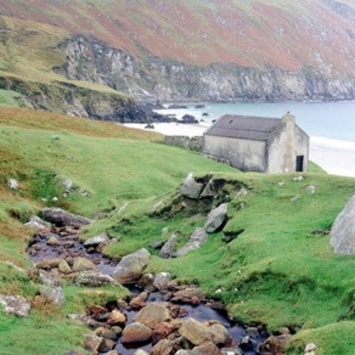 Hut site in Dooneen (iveragh By.)Hut site · 561 yd
 Knocknadobar North TopMountain / peak · 1315 yd
 SheepfoldHut site · 1729 yd
 Carhan Househouse · 2.9 mi
 O'Connell Monumentmonument · 2.9 mi
 Short Castle (Site of)Castle, unclassified · 3.5 mi
 Kells BeachBeach / strand · 4.0 mi
 Soft Tree-fernSoft Tree-fern · 4.1 mi
 Chilean wine palmChilean wine palm · 4.1 mi
 Foughil IslandIslet · 4.3 mi
 Ballycarbery CastleRuins · 4.4 mi