What is recorded here
Killoghil holds a faded earthen ring near the western foot of Moneen Mountain, its shallow bank circling grass that may have once marked a home, a boundary or a forgotten ritual place. The nearby graveyard and other raths suggest the slope has long shaped local memory, while the absent entrance keeps the site resisting a final answer.
In meadowland on a gentle SW-facing slope, at the W foot of Moneen ‘Mountain’. Hachured on the 1915 ed. of the OS 6-inch map. Listed as ‘Enclosure’ in the SMR (1992) and the RMP (1996). A poorly preserved subcircular rath (int. dims. 27.9m E–W; 25.6m N–S crest to crest) defined by a low earthen bank (Wth at base 3.9–6.5m; H 0.3–0.8m) with no obvious trace of an entrance or outer fosse. Several large boulders form the outer base of the bank at WSW but are not visible elsewhere. The site of a disused graveyard (CL002-059----) is c. 240m to the NNW, approximately centrally located between this and two other raths (CL002-015---- and CL002-061----), which are c.420m WNW and c. 415m ENE. A medieval church (CL002-014002-) and associated remains are located c.650m WNW.
Compiled by: Mary Tunney and Ros Ó Maoldúin
Date of upload: 9 December 2020
The monument record does not grant public access. Check the route and ask the landowner before entering private land.
- What survives
- Recorded monument
Places near here
 LisheenakirkaEnclosure · 400 yd
 IndicatedEnclosure · 551 yd
 mausoleummausoleum · 752 yd
 Moneen MountainMountain / peak · 1603 yd
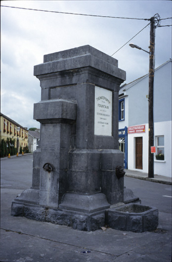 Ballyvaghan Fountainfountain · 1.2 mi
 Ballyvaghan Castle (in ruins)Castle, unclassified · 1.3 mi
 Shanmuckinish CastleCastle, tower house · 1.6 mi
 Rine PointHeadland · 2.0 mi
 Muckinish PointHeadland · 2.1 mi
 Bird Of Prey CentreHeritage attraction · 2.2 mi
 Aillwee CaveCave · 2.2 mi
 Battle of Lough Raskabattle · 2.3 mi