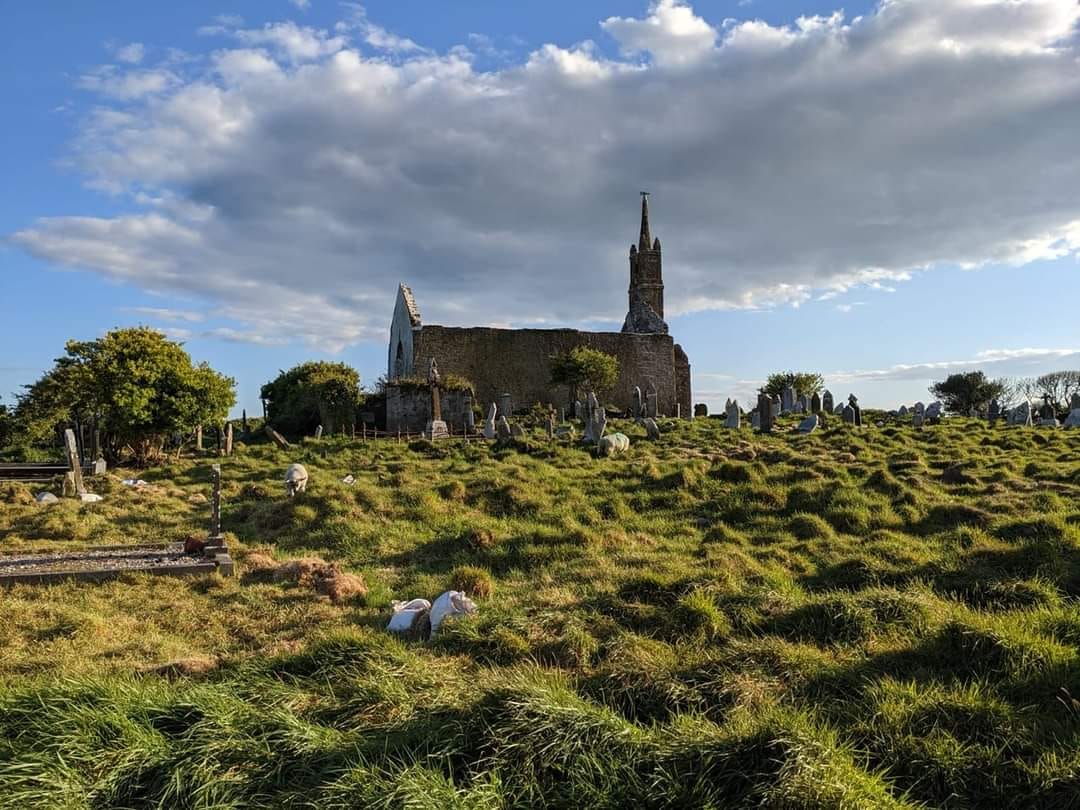
What is recorded here
Graves is a buried hollow on a steep Cork slope, hidden from old maps and still holding human bone beneath a flat sandstone slab. The white quartzite pebbles and upright stones suggest people marked the death, loved the dead, or warned others away. Its small size and remote position preserve more than any grand monument could.
Not shown on 1842 and 1903 OS 6-inch maps. In rough grazing, on steep SSE-facing slope. Rectangular slab-lined hollow (L 0.9m; Wth 0.34m; D 0.35m) closed by flat sandstone slab. Human bone fragments noted inside. Area around burial strewn with loose stones; heap of white quartzite pebbles to E. Two upright slabs (H c. 0.45m; long axes E-W) adjacent to NE.
The above description is derived from the published 'Archaeological Inventory of County Cork. Volume 3: Mid Cork' (Dublin: Stationery Office, 1997). In certain instances the entries have been revised and updated in the light of recent research.
Date of upload/revision: 14 January 2009
The monument record does not grant public access. Check the route and ask the landowner before entering private land.
- What survives
- Recorded monument
Places near here
 Fulacht FiadhFulacht fia · 568 yd
 Man-made underground passageMan-made underground passage · 1230 yd
 Bealahacreagh Bridgebridge · 1.2 mi
 sign postsign post · 1.5 mi
 Cnoc na nUlán (mullach thoir)Mountain / peak · 2.9 mi
 Carrigaphooca CastleCastle · 3.1 mi
 Neill's WoodWood · 3.3 mi
 Curraheen WoodWood · 3.7 mi
 KnockullaneMountain / peak · 3.8 mi
 Clonavrick CliffCliff · 3.9 mi
 Dundareirke Castle (in Ruins)Castle, tower house · 4.2 mi
 Macroom WalksVisitor information · 4.6 mi
Other information
Photo: Credit not shown in the picture search · Rights wording not checked; contact us if this picture should be removed