What is recorded here
Killinny held two forgotten churches, one north and one south of the King’s River, but both vanished before modern memory could anchor them. The northern graveyard lost its church around 1780 when its remains were uprooted, yet the old people kept calling the place killing. The southern churchyard hides inside a field still named Church Land, preserving the shape of what the river and years erased.
According to Carrigan (1905, vol. 3, 382) there were two churches in Killinny, ‘The Church of Killiny stood on the rising ground over the King’s River, immediately to the west of Mr. Hutchinson’s garden. Its remains were uprooted around 1780. The site of the church and graveyard, about three-quarters of an Irish acre, was called killing by the old people who spoke Irish, and, at the present day, is generally known as the Churchyard’. Carrigan (ibid.) goes on to mention, ‘The site of another very ancient church and churchyard [KK027-063001- and KK027-063002-] is pointed out in the small tract of Killiny lying south of the King’s River, in a field bearing the very suggestive name of Farran-na-hogglisha, Fearann na hEaglaise, or Church Land. The church that stood here, like that on the oppositie bank of the river, has been obliterated’. The church (KK027-063001-) and graveyard (KK027-063002-) S of the Kings River are unlocated. The precise location of the graveyard, (and its associated church (KK027-064001-)), in the portion of Killinny townland N of the Kings River is unknown.
Compiled by: Jean Farrelly
Date of upload: 18 April 2023
The monument record does not grant public access. Check the route and ask the landowner before entering private land.
- What survives
- Recorded monument
Places near here
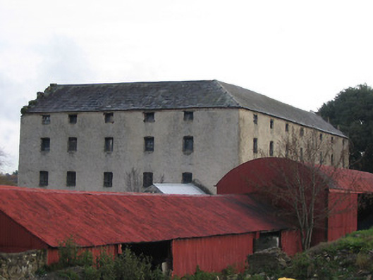 Killinny Corn Millmill (water) · 657 yd
 Glory Bridgebridge · 689 yd
 Lacken WellSpring · 933 yd
 CastleCastle, unclassified · 1225 yd
 Famous Horses of KellsMemorial · 1340 yd
 Kells Priory Mill MuseumMuseum · 1397 yd
 Kells Loop WalkWalking route · 1569 yd
 Water TowerCastle · 1.0 mi
 CrossCross, Market cross · 1.0 mi
 Kells Augustinian PrioryHeritage attraction · 1.0 mi
 Font in Glebe (kells By.)Font · 1.1 mi
 Ballyda Holy WellSpring · 2.1 mi