What is recorded here
On an E-facing slope. Subcircular grass-covered area (dims 41.7m NNW-SSE; 36.2m ENE-WSW) defined by an earthen bank (at NNW: Wth 3.3m; int. H 0.5m; ext. H 1.15m; at SSE: Wth 5.2m; int. H 1.55m; ext. H 1.35m) with some scrub, separated by a fosse (at NNW: Wth of top 4.7m; Wth of base 2.5m; ext. D 1.15m), which is barely visible ESE-SW, from an outer bank (at NNW: Wth 4m; ext. H 0.7m) WNW-N-ESE. The entrance (Wth 2.5m) is at ESE.
See the attached aerial view taken from the NW
Compiled by: Michael Moore
Date of upload: 24 August 2010
The monument record does not grant public access. Check the route and ask the landowner before entering private land.
- What survives
- Recorded monument
Places near here
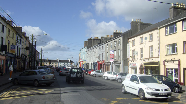 IndicatedEnclosure · 1515 yd
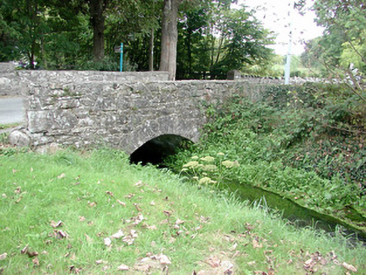 Historic buildingOfficially recorded historic building · 1518 yd
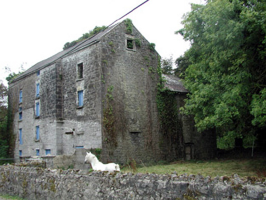 Lecarrow Millmill (water) · 1520 yd
 St. Johns WellHoly well · 1661 yd
 InchmoreIslet · 2.1 mi
 Blackbrink BayBay · 2.2 mi
 InchihicleleyIslet · 2.2 mi
 CastleCastle, tower house · 2.3 mi
 Carrownure BayBay · 2.5 mi
 St. John's WoodWood · 2.7 mi
 Rindown CastleCastle, Anglo-Norman masonry castle · 2.8 mi
 RindoonWood · 2.9 mi