What is recorded here
On a slight rise, at the base of a W-facing slope. A semicircular platform (H c. 1m), covered with overgrowth. Indicated on the 1913 OS 6-inch map as a semicircular area (32m N-S; 15m E-W) defined by linear field boundaries on the W and N arcs, by a curved field boundary on the S arc and by hachures on the E arc.
The above description is derived from the published 'Archaeological Inventory of County Sligo' compiled by Ursula Egan, Elizabeth Byrne, Mary Sleeman with Sheila Ronan and Connie Murphy (Dublin Stationery Office, 2005).
Date of upload: 18 January 2008
The monument record does not grant public access. Check the route and ask the landowner before entering private land.
- What survives
- Recorded monument
Places near here
 Sweathouse in KillerrySweathouse · 91 yd
 Church (in Ruins)Church · 933 yd
 Grave YardGraveyard · 952 yd
 MoteCastle, motte · 994 yd
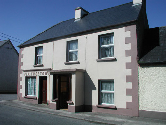 J.F. Trestonhouse · 1.3 mi
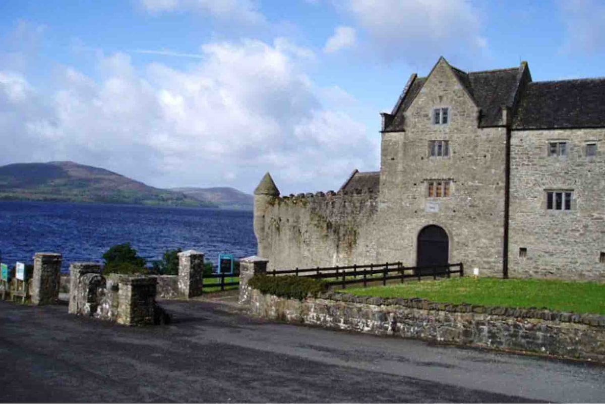 Harrisons CastleHouse, fortified house · 1.4 mi
 SlishwoodWood · 1.5 mi
 Cullentra ForestForest · 1.8 mi
 Trawane BayBay · 1.9 mi
 InnisfreeIslet · 1.9 mi
 Slishwood Island WestIslet · 2.3 mi
 Bunowen BayBay · 2.4 mi