What is recorded here
Killennan lost a standing stone, but loss is not erasure. The place is called a removed stone now because the stone is gone, not because the story is gone. A field can remember weight, shadow and the reason people went past it. What was taken from the ground may have given back more life.
The official Northern Ireland record identifies this as STANDING STONE (removed). Recorded period: PREHISTORIC; UNCERTAIN. The official map point was placed at the centre of the recorded archaeological site from the source map reference.
The monument record does not grant public access. Check the route and ask the landowner before entering private land.
- What survives
- Recorded monument
Places near here
 ENCLOSURE, possibly CRANNOG (unlocated) in LettershendonyENCLOSURE, possibly CRANNOG (unlocated) · 555 yd
 CHURCH (site of) in KillennanCHURCH (site of) · 882 yd
 The Ness WoodWood · 2.4 mi
 Brackfield BawnCastle · 2.9 mi
 CHURCH in TemplemoyleCHURCH · 3.4 mi
 Waterside Presbyterian ChurchChurch · 3.6 mi
 CHURCH & GRAVEYARD: ENAGH or DOMNACH DOLA in TempletownCHURCH & GRAVEYARD: ENAGH or DOMNACH DOLA · 3.8 mi
 Foyle Valley Railway MuseumMuseum · 3.9 mi
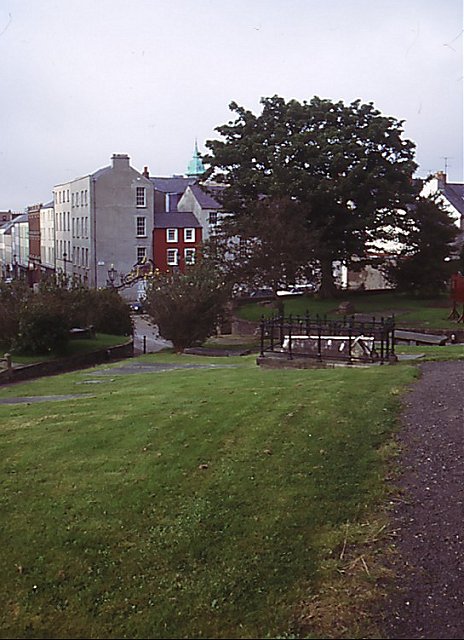 Cathedral viewViewpoint · 3.9 mi
 Siege of DerrySiege and battlefield · 4.0 mi
 Siege Heroes MemorialMonument · 4.1 mi
 Church BastionViewpoint · 4.1 mi