
What is recorded here
Crannog or enclosure, the name itself hedges. In Lettershendony, County Derry, a hidden ring of earth or wood may still hold the shape of the people who made it. The uncertainty does not weaken the place; it invites you to see the boundary between memory and invention.
The official Northern Ireland record identifies this as ENCLOSURE, possibly CRANNOG (unlocated). Recorded period: UNCERTAIN. The official map point was placed at the centre of the recorded archaeological site from the source map reference.
The monument record does not grant public access. Check the route and ask the landowner before entering private land.
- What survives
- Recorded monument
Places near here
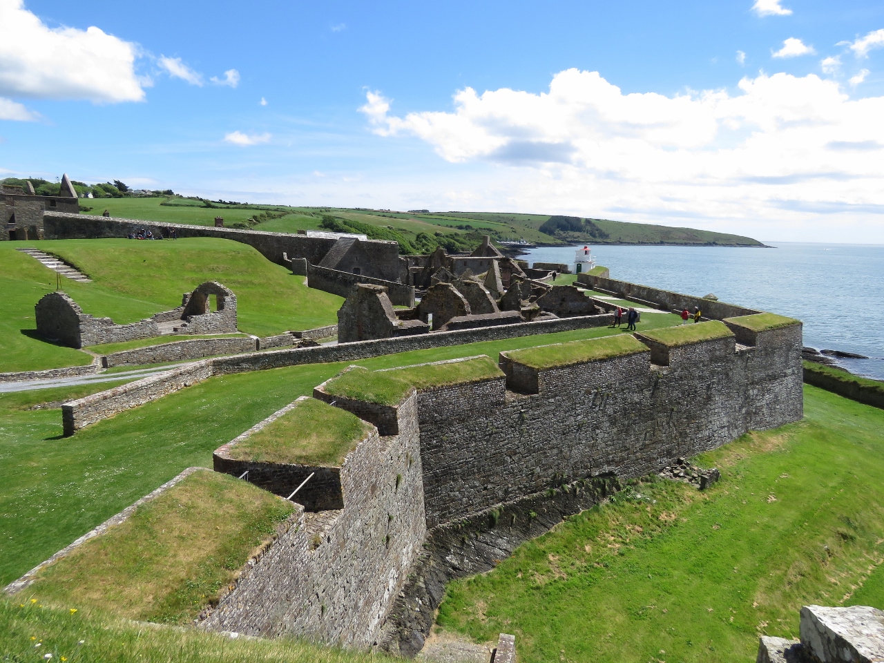 ENCLOSURE: SEINLIS FORT in KillennanENCLOSURE: SEINLIS FORT · 555 yd
 CHURCH (site of) in KillennanCHURCH (site of) · 580 yd
 The Ness WoodWood · 2.2 mi
 Brackfield BawnCastle · 2.8 mi
 CHURCH in TemplemoyleCHURCH · 3.3 mi
 Waterside Presbyterian ChurchChurch · 3.9 mi
 CHURCH & GRAVEYARD: ENAGH or DOMNACH DOLA in TempletownCHURCH & GRAVEYARD: ENAGH or DOMNACH DOLA · 3.9 mi
 Foyle Valley Railway MuseumMuseum · 4.2 mi
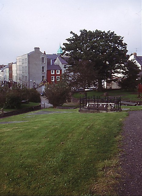 Cathedral viewViewpoint · 4.2 mi
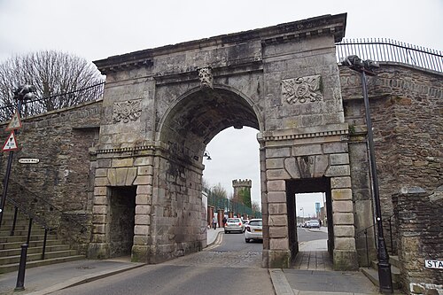 Siege of DerrySiege and battlefield · 4.3 mi
 Siege Heroes MemorialMonument · 4.3 mi
 Church BastionViewpoint · 4.4 mi
Other information
Photo: Credit not shown in the picture search · Rights wording not checked; contact us if this picture should be removed