What is recorded here
Enclosure in Killemly is an enclosure in Killemly, County Tipperary, Ireland. The site appears as an irregular cropmark on an aerial photograph but is not visible at ground level. A 1999 excavation uncovered a curving ditch with charcoal-flecked fills, a circular cut, possible post-holes and a stone or cobble surface, though no datable finds emerged and the features could not be conclusively linked to the aerial enclosure.
On fairly flat ground in undulating terrain, in reclaimed pastureland, another possible enclosure (TS075-043002-) lies c. 40m to S. Enclosure identified as an irregular cropmark on aerial photograph (CUCAP July 1970 BDR 88). It is not visible at ground level. It was partially excavated in 1999 prior to the selection of a final route for the proposed Cahir Eastern Relief Road (Henry 2000, 284). A modern drainage ditch and furrows had disturbed 'a number of potential archaeological features including a circular cut, possible post-holes and a fine stone/cobble surface' (ibid.). A curving ditch, possibly the enclosing fosse, which contained extensive charcoal-flecking in the fills, was also uncovered though there were no datable finds (ibid.). It was not possible to conclusively establish relationships between the features uncovered during the testing and the two possible enclosures visible on the aerial photograph (ibid.).
Compiled by: Jean Farrelly
Date of upload: 26 August 2011
The monument record does not grant public access. Check the route and ask the landowner before entering private land.
- What survives
- Recorded monument
Places near here
 mill (water)mill (water) · 634 yd
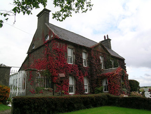 Keylong Househouse · 655 yd
 Kedrah FortArchaeological place · 746 yd
 Bawn in CloghabreedyBawn · 1519 yd
 Bawn in KedrahBawn · 1634 yd
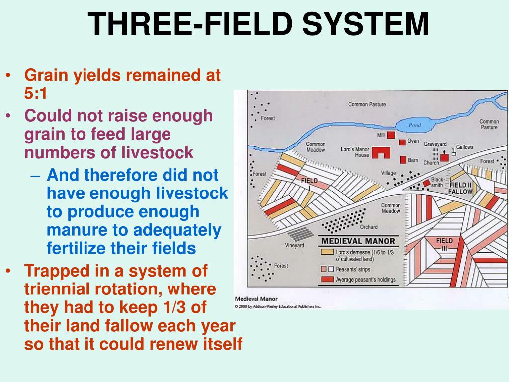 Field system in Caherabbey LowerField system · 1751 yd
 Caher AbbeyHeritage attraction · 1.3 mi
 Siege of Cahir Castlesiege · 1.5 miCahir CastleHeritage attraction · 1.5 mi
 Pedunculate OakPedunculate Oak · 2.3 mi
 European YewEuropean Yew · 2.5 mi
 Slieveanard NE TopMountain / peak · 3.8 mi