
What is recorded here
Enclosure in Killeeshal is a vanished nested complex in County Carlow where a large earthwork, smaller ringfort, possible tiny enclosure and square moated site overlapped before levelling erased them. A sixth or seventh-century terminal and a fourteenth or fifteenth-century pendant suggest the place remained inhabited across centuries, perhaps as a domestic or ceremonial centre rather than a single fortress. What is gone can still be imagined: people moving between rings, working fields, marking ownership or refuge, while the land kept their shape long after they stopped living there.
The following description is derived from the published 'Archaeological Inventory of County Carlow' (Dublin: Stationery Office, 1993). In certain instances the entries have been revised and updated in the light of recent research.
Date of upload/revision: 8 July 2011
Revised by: Claire Breen
Aerial photographs (CUCAP BGH 36, 37) show complex of earthworks consisting of large enclosure (CW007-042004-) (est max. diam. c. 100m) marked on 1938-9 OS 6-inch map, enclosing at N smaller circular enclosure (CW007-042002-), probably a ringfort (est max. diam. c. 30m) and traces of what may be a much smaller circular enclosure (CW007-042003-) (est max. diam. c 15m) to E of ringfort and between ringfort and bank of large enclosure. At S, large enclosure is overlain by approximately square enclosure (CW007-042001-) with fosse and bank (est max. dims. c 40m N-S x 40m E-W), probably moated site (also shown on 1938-9 OS 6-inch map). Aerial photograph (GB90.BE.07, 13 July 1990) shows cropmarks of a large enclosure (CW007-042005-) defined by a fosse attached to the S and E of the moated site (CW007-042001); also traces of a possible trackway and related field boundaries.
Sixth/seventh-century terminal found at complex probably came from ringfort. Fourteenth/fifteenth-century pendant also found (NMI file). Complex has been levelled.
The monument record does not grant public access. Check the route and ask the landowner before entering private land.
- What survives
- Recorded monument
Places near here
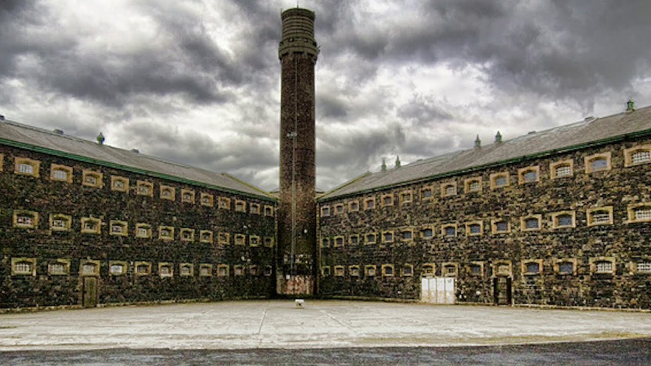 Enclosure in KilleeshalEnclosure · 120 yd
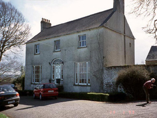 Saint John's Church (Cloydagh)rectory/glebe/vicarage/curate's house · 569 yd
 Enclosure in FonthillEnclosure · 961 yd
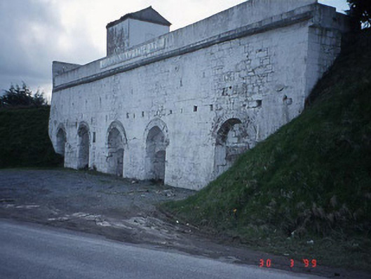 Clogrennane Lime Workskiln · 1007 yd
 Church (in ruins), GraveyardChurch · 1399 yd
 Clogrenan CastleCastle, tower house · 1538 yd
 Graveyard in Tomard Lower (3 Detached Portions)Graveyard · 2.1 mi
 Pedunculate OakPedunculate Oak · 2.6 mi
 Carlow CastleRuined medieval castle · 3.0 mi
 CastleCastle, Anglo-Norman masonry castle · 3.0 mi
 Carlow County MuseumMuseum · 3.2 mi
 Gallows HillMountain / peak · 3.5 mi
Other information
Photo: Credit not shown in the picture search · Rights wording not checked; contact us if this picture should be removed