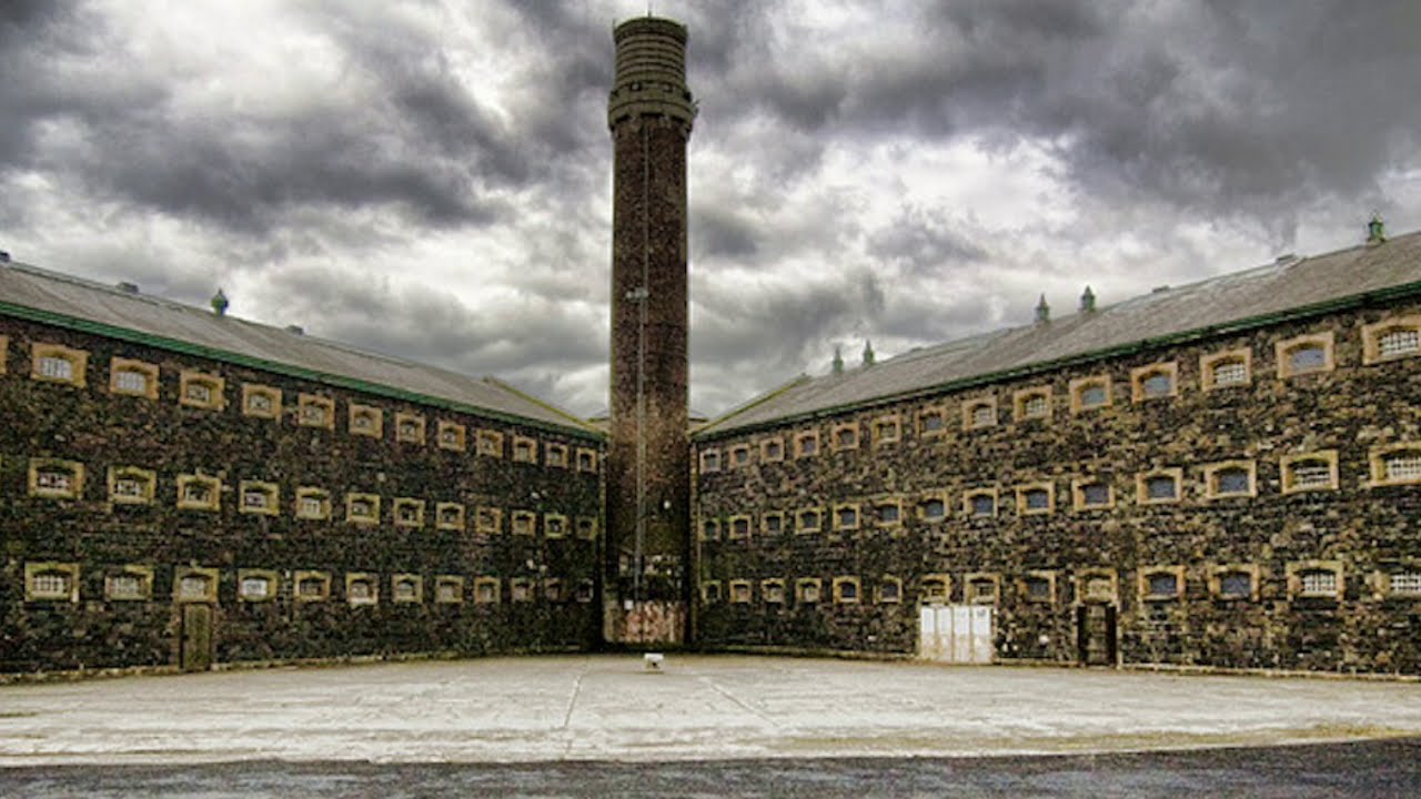
What is recorded here
Aerial photograph (GB90.BE.07, 13 July 1990) shows cropmarks of a large enclosure defined by a fosse attached to the S and E of the moated site (CW007-042001); also traces of a possible trackway and related field boundaries.
Compiled by: Dr Gillian Barrett for the Archaeological Survey of Ireland.
Date of upload: 29 March 2010
The monument record does not grant public access. Check the route and ask the landowner before entering private land.
- What survives
- Recorded monument
Places near here
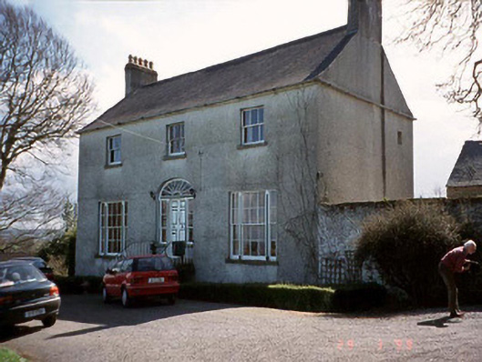 Saint John's Church (Cloydagh)rectory/glebe/vicarage/curate's house · 689 yd
 Enclosure in FonthillEnclosure · 909 yd
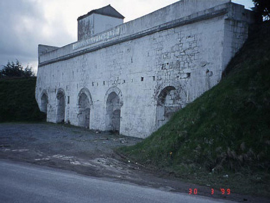 Clogrennane Lime Workskiln · 985 yd
 Church (in ruins), GraveyardChurch · 1476 yd
 EnclosureEnclosure, large enclosure · 1504 yd
 Clogrenan CastleCastle, tower house · 1658 yd
 Graveyard in Tomard Lower (3 Detached Portions)Graveyard · 2.0 mi
 Pedunculate OakPedunculate Oak · 2.7 mi
 Carlow CastleRuined medieval castle · 3.1 mi
 CastleCastle, Anglo-Norman masonry castle · 3.1 mi
 Carlow County MuseumMuseum · 3.2 mi
 Gallows HillMountain / peak · 3.4 mi
Other information
Photo: Credit not shown in the picture search · Rights wording not checked; contact us if this picture should be removed