What is recorded here
On the S shore of a small fast-flowing stream with a low bluff rising immediately to S. Noted by Tom Coffey and marked on a 6-inch map in 1996 (SMR file). A fairly well-preserved horseshoe-shaped mound (12.3m N-S; 10.3m E-W; max. H 1m) open to N. A later field wall extends N-S across the centre and meets a second wall extending E across the NE limits. Overgrown with thorn on the E side. The opening or trough area is poached by livestock watering from stream.
Compiled by: Mary Tunney and Gearóid Conroy
Date of upload: 6 February 2019
The monument record does not grant public access. Check the route and ask the landowner before entering private land.
- What survives
- Recorded monument
Places near here
 Sheep foldFairy fort / stone ringfort · 563 yd
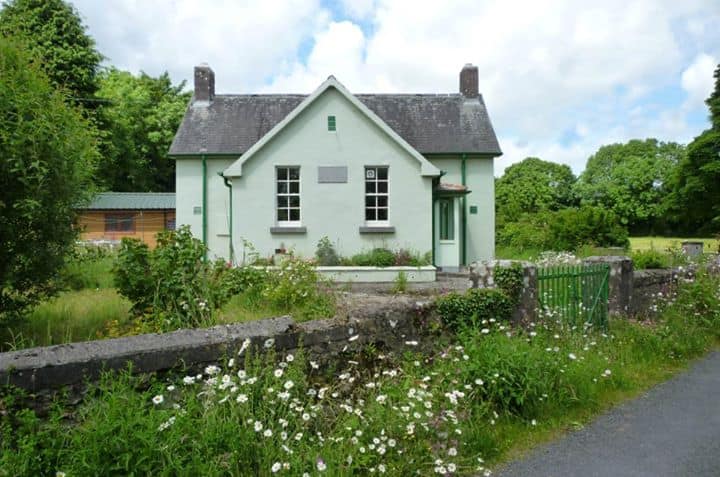 Enclosure in CushacorraEnclosure · 1105 yd
 ToheracollureRuins · 1390 yd
 IndicatedChurch · 1438 yd
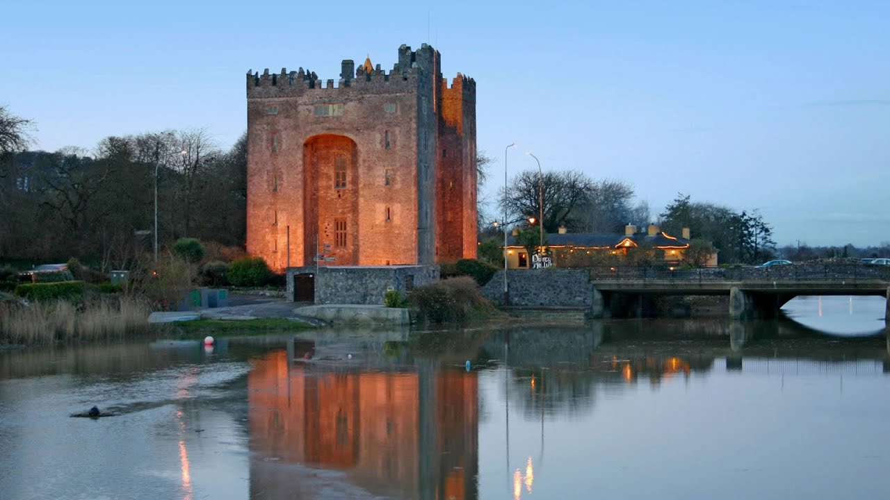 Castle (in ruins)Castle, tower house · 1.8 mi
 Glencolumbkille CastleCastle · 2.0 mi
 Kilnaloone GraveyardArchaeological place · 2.0 mi
 Grave of Saint Mac Duagh's ServantArchaeological place · 2.2 mi
 Kilmacduagh Monastic SiteVisitor information · 3.3 mi
 Kilmacduagh MonasteryHeritage attraction · 3.3 mi
 Slieve RoeMountain / peak · 3.4 mi
 Mullagh MoreMountain / peak · 3.9 mi