What is recorded here
Fairy fort / earthen ringfort in Killeenbrack is a fairy fort or earthen ringfort in Killeenbrack, County Westmeath, Ireland. The roughly circular area measures 34 metres in diameter and is enclosed by an inner bank, a fosse, and an outer bank. A gap in the inner bank at the south, 4.4 metres wide at the top and 2.3 metres at the base, presumably represents the entrance. The low inner bank is best preserved from the east through southeast to south, while it is almost reduced to a scarp from the south through west to north.
Situated on a slight rise, in gently undulating pasture, with reasonable views of the surrounding landscape. Monument described as a roughly circular-shaped area (diam. 34m) enclosed by an inner bank, a fosse and an outer bank. A gap (Wth at top 4.4m; basal Wth 2.3m) in the inner bank at S presumably represents the entrance. The low inner bank is best preserved from E-SE-S and is almost reduced to a scarp from S-W-N-E. The fosse is wide and shallow and is most visible from E-S-SW. There is a very low, wide outer bank from E-S-W. The interior has a slight SE-facing slope and is largely obscured by dense vegetation.
Compiled by Alison McQueen, Vera Rahilly and Caimin O’Brien.
Date of upload: 28 August 2019
The monument record does not grant public access. Check the route and ask the landowner before entering private land.
- What survives
- Recorded monument
Places near here
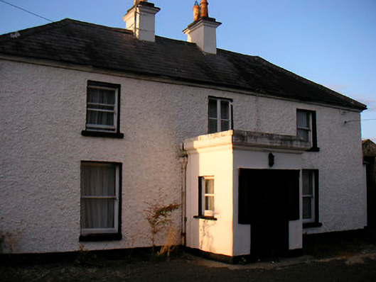 Killaroo Househouse · 523 yd
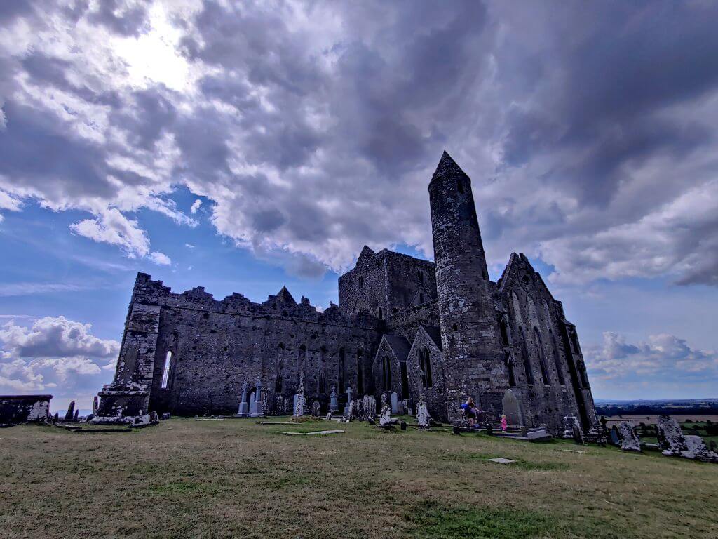 Partially hachuredFairy fort / earthen ringfort · 877 yd
 Stremmingstown CastleCastle · 911 yd
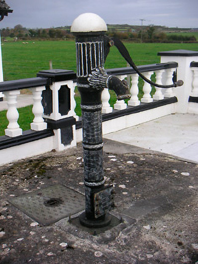 water pumpwater pump · 985 yd
 Partially outlinedEnclosure · 1113 yd
 Killeenbrack CastleCastle · 1.1 mi
 Sam's ParkForest · 1.2 mi
 European ashEuropean ash · 1.7 mi
 Hill of UisneachMountain / peak · 2.0 mi
 KnockastiaMountain / peak · 2.9 mi
 Charles BianconiMemorial · 7.7 mi
 The Bob Traynor GalleryGallery · 7.8 mi