What is recorded here
Hot stones, cracked and scattered in charcoal-rich soil, still mark a crescent beside the Fiddaunglass stream. People may have heated water there for cooking, cleaning or ritual, then dumped the ruined stones into a mound that grass has since buried. It sits near a rath and other burnt mounds along the same damp bank, suggesting the place was used often enough to leave a line of scars across the pasture.
In an expanse of flat, damp pasture bordering the N bank of the Fiddaunglass stream, located close to NW end of knoll, on which a rath (MA038-091----) is situated.
Crescent-shaped, grass-covered mound (c. 9.6m N-S; c. 7m E-W; H. 0.5m) composed of heat-shattered stone fragments in charcoal-rich soil, with a possible trough area on the NE side. This is one of a linear cluster of fulachtai fia/burnt mounds (see MA038-189---- to MA038-194----), located along the course of the stream, one (MA038-191----) of which is located 10m to NW.
Compiled by: Jane O'Shaughnessy
Date of upload: 21 August 2019
The monument record does not grant public access. Check the route and ask the landowner before entering private land.
- What survives
- Recorded monument
Places near here
 IndicatedFairy fort / earthen ringfort · 57 yd
 LisheenFairy fort / earthen ringfort · 162 yd
 CastleCastle, unclassified · 1717 yd
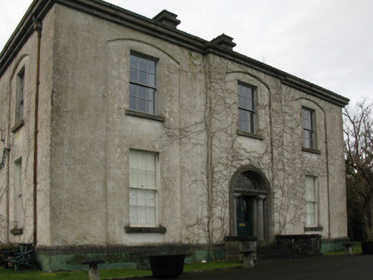 Castlehill Housefarm house · 1735 yd
 Ballyduffy CastleCastle, unclassified · 1.0 mi
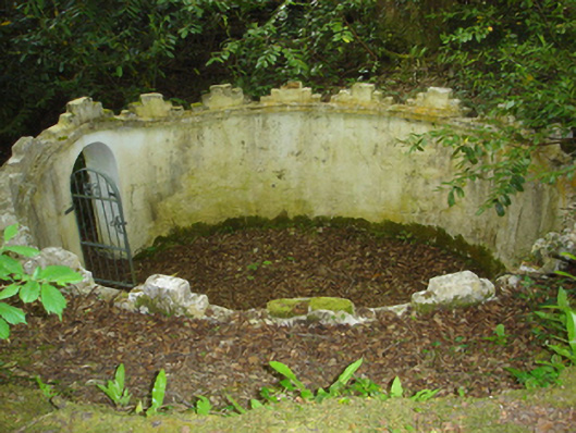 Enniscoe Housemausoleum · 1.2 mi
 Castle IslandIslet · 1.8 mi
 Titanic Memorial ParkMemorial · 1.8 mi
 Grave of the KingsArchaeological place · 1.9 mi
 Roe IslandIslet · 2.1 mi
 NephinMountain / peak · 3.4 mi
 FarbreigaMountain / peak · 6.8 mi