What is recorded here
In rough pasture, on the N bank of a stream, named Fiddaunglass, sheltered by rising ground to N.
A roughly circular, grass-covered mound (diam. 18m; H 0.7m at W, 1m at E) composed of heat-shattered stone fragments in charcoal-rich soil. A large stone protrudes from the top surface of the mound to N of centre. There is a slight depression at S; it is not clearly defined, but may indicate the location of a trough. A field drain clips the E edge of the mound, and an old E-W field bank intervenes between the mound and the stream which is 4m to S. This is one of a linear cluster of fulachtai fia/burnt mounds (see also MA038-189---- to MA038-197----) located along the course of the stream.
Compiled by: Jane O'Shaughnessy
Date of upload: 20 August 2019
The monument record does not grant public access. Check the route and ask the landowner before entering private land.
- What survives
- Recorded monument
Places near here
 IndicatedFairy fort / earthen ringfort · 320 yd
 LisheenFairy fort / earthen ringfort · 412 yd
 CastleCastle, unclassified · 1489 yd
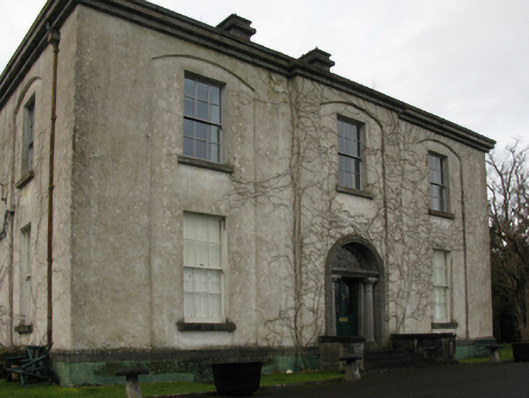 Castlehill Housefarm house · 1505 yd
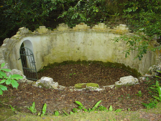 Enniscoe Housemausoleum · 1.1 mi
 Ballyduffy CastleCastle, unclassified · 1.1 mi
 Castle IslandIslet · 1.6 mi
 Titanic Memorial ParkMemorial · 1.8 mi
 Roe IslandIslet · 1.9 mi
 Grave of the KingsArchaeological place · 2.1 mi
 NephinMountain / peak · 3.5 mi
 FarbreigaMountain / peak · 6.7 mi