What is recorded here
Thirty metres of forgotten life remain buried under Killasona pasture. The road cut through the eastern edge, but the western bank still holds its shape against the sky. What hands built that curve, and what did they lose when the wheels came through?
In level pasture. A raised oval area (c. 39m WNW-ESE; c. 30m NNE-SSW) enclosed by a low bank of earth and stone (Wth 3.9m; max. H 0.3m) with a shallow external fosse (Wth 3m; D 0.4m). The latter is identifiable only at S and W. From NW-N-NE the bank has been levelled but its outline is still identifiable. From NE-E-ESE the rath has been partially destroyed due to the construction of a modern NW-SE roadway. The original entrance is not recognisable.
Compiled by: Patrick F. O'Donovan
Date of upload: 26 August 2011
The monument record does not grant public access. Check the route and ask the landowner before entering private land.
- What survives
- Recorded monument
Places near here
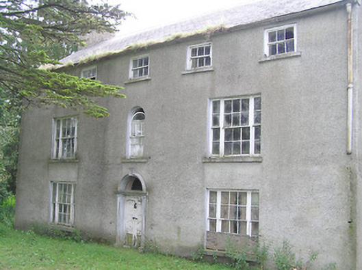 Killasona Housecountry house · 1139 yd
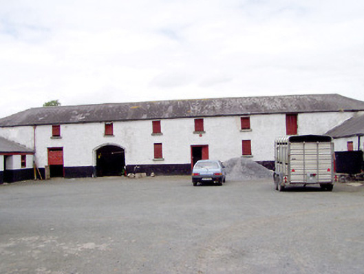 Toneen Lodgeoutbuilding · 1283 yd
 Enclosure in Kilfintan Lower OR CrancamEnclosure · 1450 yd
 LisnagreeFairy fort / earthen ringfort · 1488 yd
 Site of Castle NugentCastle, unclassified · 1.2 mi
 Coolamber CastleHouse, fortified house · 2.3 mi
 Granard MotteMotte-and-bailey castle remains · 2.4 mi
 1798 Monumentmonument · 2.5 mi
 Clonfin Ambush MemorialMemorial · 4.6 mi
 CartronfreeMountain / peak · 4.9 mi
 CarrickMountain / peak · 5.0 mi
 Watty's RocksIslet · 5.3 mi