What is recorded here
On a slight natural rise of ground surrounded by low-lying countryside which is poorly drained in places. Nearby monuments include, site of stone castle (WM024-049003-), ringfort (WM024-049001-) and field system (WM024-049002-) immediately to SW, motte and bailey castle (WM024-053----) 240m to ESE, Killare church (WM024-057----) and graveyard (WM024-057002-) 440m to SE, St. Bridget’s holy well (WM024-054002-) and St. Bridget’s Church (WM024-054001-) 150m to S. Post medieval corn mill 300m to ENE and mill pond 240m to SSW.
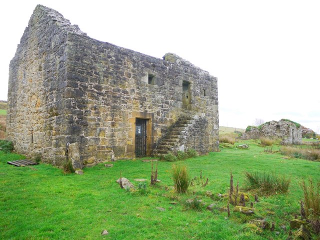
Present remains consist of a grass-covered wall footings of a long rectangular building aligned NE-SW to the W of a levelled castle (WM024-049003-) depicted on the 1656-59 Down Survey map of Killare parish (NLI MS 723-4). The castle ruins are standing in the NW quadrant of a complex of low grass covered earthworks which represent the remains of a possible road (WM024-049004-) represented by a linear earthwork running NW-SE which runs past the castle site immediately to the SW, a group of hut sites are located to the W of the castle site along with the wall footings of a long rectangular building aligned NE-SW. Other earthworks in this field to the SW represent the remains of a field system (WM024-049002-) associated with a ringfort (WM024-049001-). A disused quarry is located immediately E of the castle site and some of these earthworks in close proximity to the castle may be related to the quarry. Bing Maps aerial photograph taken November 2011 shows clearly the outline of the building to the N of the ringfort (WM024-049001-) and W of the castle site.
See attached Bing Maps aerial photograph showing ringfort, field system and castle site with associated earthworks to N and NE of ringfort.
See attached plan of castle (WM029-049003-), ringfort (WM024-049001-) , field system (WM024-049001-) and building surveyed by the National Monuments Service in 1985.
Compiled by: Caimin O’Brien
Date of upload: 23 July 2014
This monument is subject to a preservation order made under the National Monuments Acts 1930 to 2014 (PO no. 4/1986).
The monument record does not grant public access. Check the route and ask the landowner before entering private land.
- What survives
- Recorded monument
Places near here
 Bawn in KillarecastleBawn · 44 yd
 bridgebridge · 212 yd
 Brides WellHoly well · 254 yd
 Church (in Ruins)Church · 258 yd
 European ashEuropean ash · 262 yd
 Enclosure in KillarechurchEnclosure · 1252 yd
 Hill of UisneachMountain / peak · 1508 yd
 CastleCastle, tower house · 1.1 mi
 Sam's ParkForest · 2.2 mi
 KnockastiaMountain / peak · 3.8 mi
 Craft WorkshopHeritage attraction · 7.1 mi
 Guest ServicesVisitor information · 7.1 mi