What is recorded here
Grave Yard belongs to St. Annin's Church in County Galway, where eighteen and nineteenth century markers still stand across a broad rectangular field. The 2020 clean-up stripped back years of hidden growth, exposing the patient shape of the dead beneath. That sudden clarity suggests the yard was not forgotten, but waiting for someone to remove the veil of green and remember the lives it holds.
Associated with 'St. Annin's Church' (GA068-024----). On inspection in July 1983, numerous grave-markers and graves dating to the 18th and 19th centuries were visible within this large roughly rectangular graveyard (c. 87m NNW-SSE; c. 60m ENE-WSW). On re-inspection in March 2020, it was found that a graveyard clean-up had removed most of the vegetation within it.
The following images has been uploaded:
GA068-024001-_01.jpg View of graveyard from W with St Annin's Church to left and Martin Mortuary Chapel to right.
GA068-024001-_04.jpg View from NW
Compiled by: Olive Alcock
Date of upload: 10 July 2023
The monument record does not grant public access. Check the route and ask the landowner before entering private land.
- What survives
- Recorded monument
Places near here
 St Annins Church (in ruins)Church · 21 yd
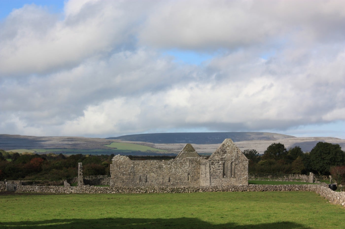 TemplebeganeeveChurch · 406 yd
 Brigit's GardenHeritage attraction · 555 yd
 Annagh WoodWood · 561 yd
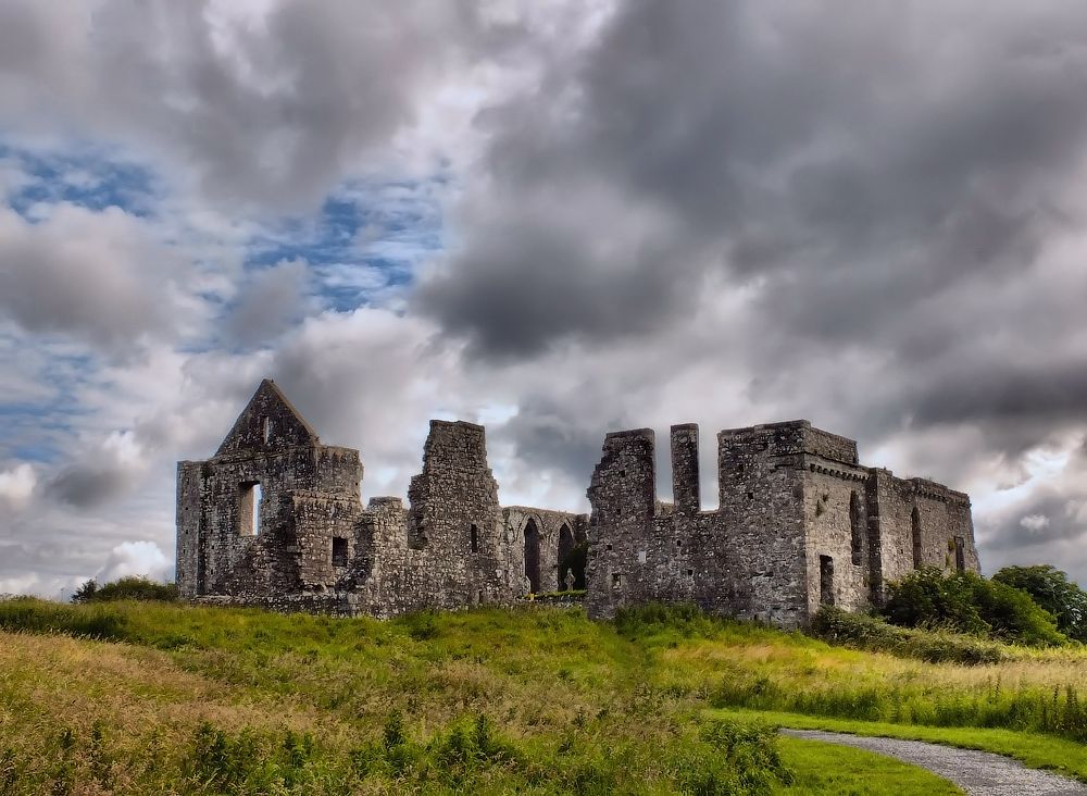
 IndicatedFairy fort / stone ringfort · 686 yd
 St. Annin s Holy WellHoly well · 703 yd
 Oghery Castle in ruinsCastle, unclassified · 1325 yd
 Cnoc an Bhaile NuaMountain / peak · 2.4 mi
 Potatoe IslandsIslet · 2.6 mi
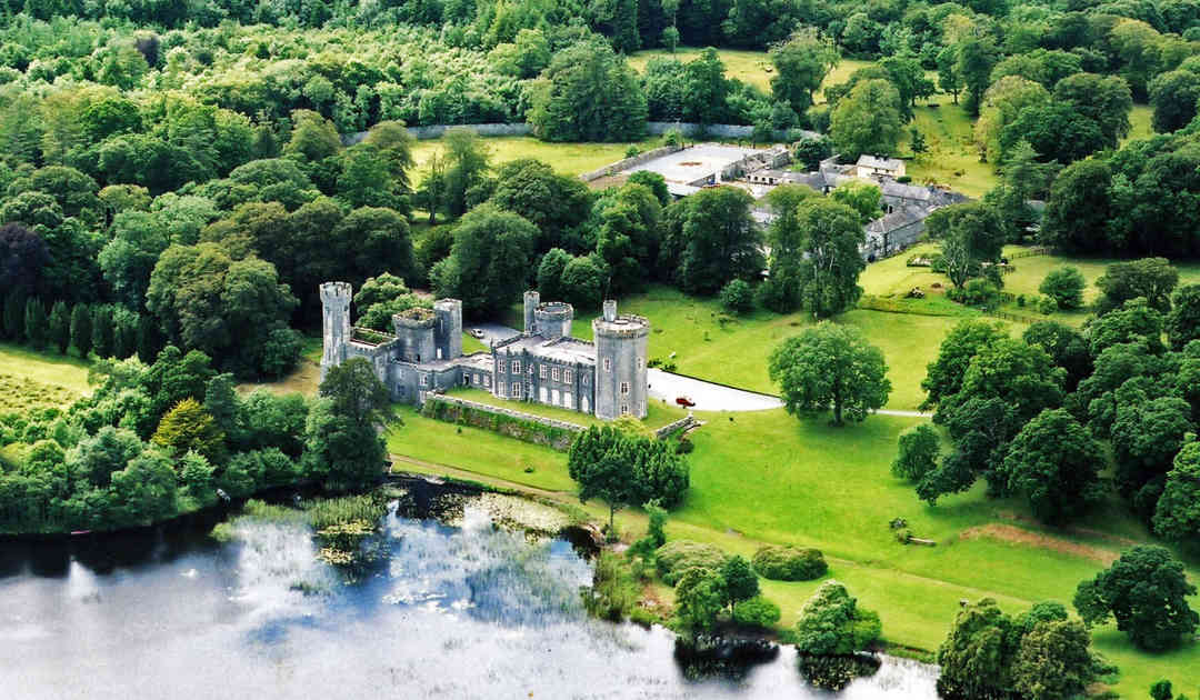 Two Sisters Castles (in ruins)Castle, tower house · 3.0 mi
 Illaunfadda MoreIslet · 3.1 mi
 Connemara MarbleHeritage attraction · 3.3 mi