
What is recorded here
Killakee holds a ghost circle sixty metres wide, buried beneath forest soil downslope from Mountpelier Hill. A standing stone still marks the west edge, waiting for the missing boundary to reappear. The land swallowed the enclosure, but it never erased the shape entirely.
Located downslope from Mountpelier Hill, within a forest clearing. Appears on an aerial photograph (CUCAP1963, AIG 75) and is an etimated 60m in diameter (Healy 1975). No visible trace. A standing stone (DU025-021001-) is located to the W.
Compiled by: Geraldine Stout and Padraig Clancy
Revised upload on: 8 July 2018
This remains an important historical record, but the official description says the monument is no longer visible or has been destroyed. The monument record does not grant public access. Check the route and ask the landowner before entering private land.
- What survives
- No visible remains or recorded as destroyed
Places near here
 Standing StoneArchaeological place · 35 yd
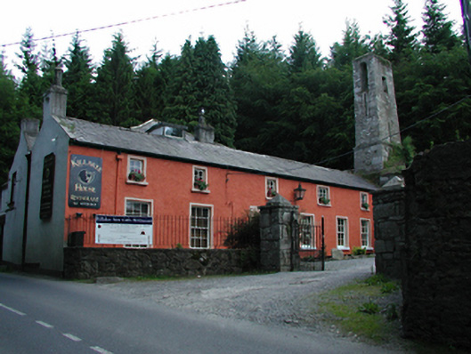 Killakee Househouse · 285 yd
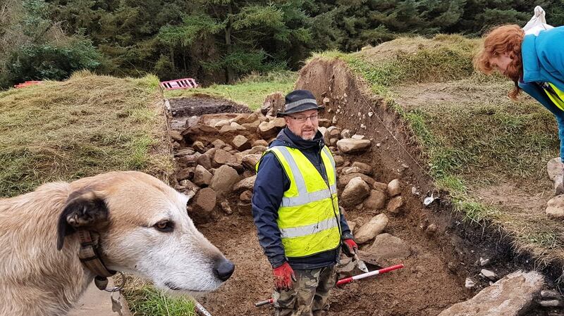 Passage tomb in MontpelierPassage tomb · 410 yd
 Hell Fire Clubhunting/fishing lodge · 424 yd
 Montpelier HillMountain / peak · 443 yd
 Dublin Mountains Way Hellfire & Massey SpurWalking route · 569 yd
 Dublin Mountains Way - Hellfire & Massey spurWalking route · 676 yd
 Hellfire WoodForest · 752 yd
 Massey WoodWood · 948 yd
 Carty's CastleRuins · 1349 yd
 Slieve GorraMountain / peak · 1451 yd
 Stocking Wood NewsVisitor information · 1.4 mi
Other information
Photo: Credit not shown in the picture search · Rights wording not checked; contact us if this picture should be removed