What is recorded here
Killakeady holds a broken earthen ring on a drumlin crest, its bank reduced to a scarp and its entrance widened by centuries of traffic. The gap at the eastern edge likely marks the true doorway, while other breaks show where people cut through the wall to reach the centre. That repeated choice reveals more about human impatience than any measured line ever could.
Located at the crest of the E-facing slope of a NNE-SSW drumlin ridge. This is a subcircular grass and rush-covered area (dims 42.4m NE-SW; 36m NW-SE) that slopes down to the ESE which is defined by an overgrown earthen bank that is reduced to a scarp NE-S, and traces of an external fosse (at SW: Wth of top 3.5m; Wth of base 2m; ext. D 0.4m). There are several gaps in the bank but the original entrance is probably that at ESE (Wth of base 3.5m).
The above description is derived from the published 'Archaeological Inventory of County Monaghan' (Dublin: Stationery Office, 1986). In certain instances the entries have been revised and updated in the light of recent research.
Date of revision: 25 July 2017
The monument record does not grant public access. Check the route and ask the landowner before entering private land.
- What survives
- Recorded monument
Places near here
 Hilltop enclosure in Cavan (cope)Hilltop enclosure · 1449 yd
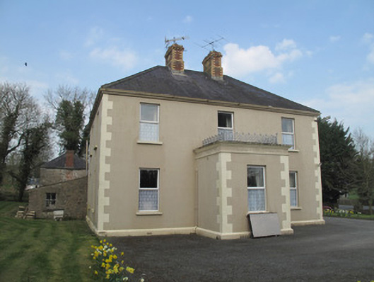 Saint Joseph'spresbytery/parochial/curate's house · 1715 yd
 Catholic Church of the Holy Familychurch/chapel · 1719 yd
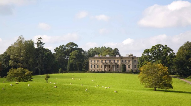 Hilltop enclosure in LenaghHilltop enclosure · 1728 yd
 Emyvale Heritage TrailVisitor information · 1.4 mi
 St. Muadain's WellSpring · 2.5 mi
 Sitka SpruceSitka Spruce · 3.3 mi
 Caucasian FirCaucasian Fir · 3.3 mi
 Harry LaveryMemorial · 3.6 mi
 RAVELLA CASTLE:HOUSE AND BAWN in RavellaRAVELLA CASTLE:HOUSE AND BAWN · 4.6 mi
 Coolberrin HillMountain / peak · 4.6 mi
 Monaghan County MuseumMuseum · 7.4 mi