What is recorded here
Grave Yard occupies the south end of a long avenue on Killadoon Demesne, where a low stone wall and overgrown ivy hide the foundations of a ruined church. The earliest legible headstone dates to 1816, but the buried church suggests worship and death belonged there long before stones were carved. The ground rises slightly above the demesne, as if holding something back from the land around it.
On level ground at the S end of a long avenue on the landscaped Killadoon Demesne. An L-shaped area (dims. L 38m NNE-SSW; Wth along N 31m; Wth along S 16m) is defined by a low mortared stone wall, except along the S where it ends at outbuildings which are part of the courtyard immediately N of Killadoon House. The interior is higher than the surrounding ground (av. H 1m) and is totally overgrown with ivy, ash, holly, laurel and briar. The earliest legible headstone is dated 1816. The foundations of a ruined church (KD0111-006----) lie just N of centre.
Compiled by: Gearóid Conroy
Date of upload: 10 June 2011
The monument record does not grant public access. Check the route and ask the landowner before entering private land.
- What survives
- Recorded monument
Places near here
 Enclosure in KilladoonEnclosure · 1003 yd
 CastleCastle, tower house · 1201 yd
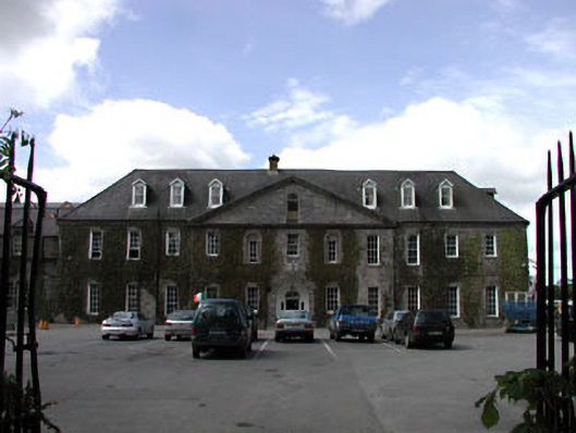 Celbridge Collegiate Schoolcharter school · 1332 yd
 St. Patricks ChapelChurch · 1351 yd
 Saint Patrick's BedArchaeological place · 1713 yd
 Oriental planeOriental plane · 1.1 mi
 Reeves CastleCastle · 1.2 mi
 John McLaughlinMemorial · 1.2 mi
 Arthur GuinessMemorial · 1.5 mi
 Common LimeCommon Lime · 1.6 mi
 The Steam MusemMuseum · 1.8 mi
 Battle of GlenmamaMajor battlefield · 1.8 mi