What is recorded here
On a S-facing slope. Noted by Gannon (1972), a stone (dims. 1.35m x 1.2m; T 0.4m) is now displaced and lies against a field wall.
Compiled by: Michael Moore
Date of upload: 24 August 2010
The monument record does not grant public access. Check the route and ask the landowner before entering private land.
- What survives
- Recorded monument
Places near here
 IndicatedFairy fort / stone ringfort · 1571 yd
 Casatle (ruins)Castle, unclassified · 1.1 mi
 Embanked enclosureFairy fort / earthen ringfort · 1.2 mi
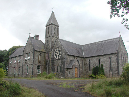 Saint Mary's Conventconvent/nunnery · 1.3 mi
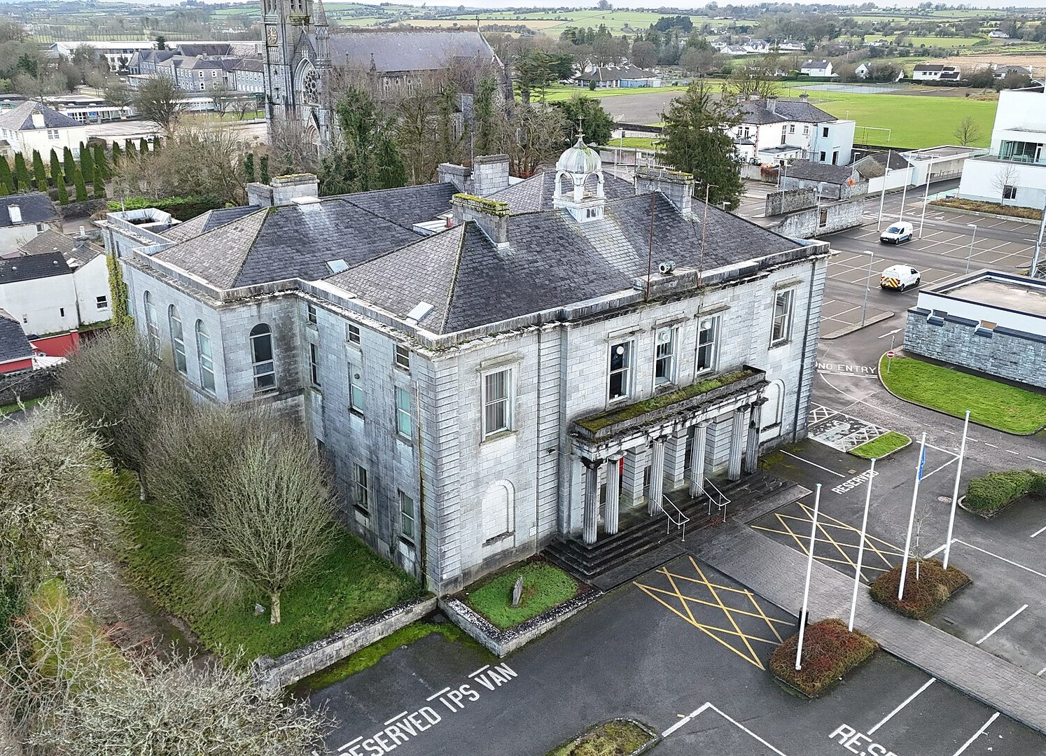
 Ballaghaderreen Courthousecourt house · 1.4 mi
 Bockagh HillMountain / peak · 1.8 mi
 CastleCastle, unclassified · 2.1 mi
 Bawn IslandIslet · 7.1 mi
 Rose PointHeadland · 7.5 mi
 Crow IslandIslet · 7.5 mi
 Castle PointHeadland · 7.6 mi
 Square WoodForest · 8.6 mi