What is recorded here
Indicated is a broken fairy fort in Mid Cork where farm buildings crushed its northwestern edge and a careless stone cairn now clutters the eastern grass. The remaining earthen bank still marks a twenty-five metre circle on the south-facing slope, preserving the shape beneath pasture and forgetting. What lives inside that damaged ring is no longer certain, but the land remembers the boundary even when human hands keep breaking it.
In pasture, on S-facing slope. Circular area (diam. c. 25m) enclosed by earthen bank (H c. 1m) to N and E; low rise to S; earthen bank (stone-faced in parts) to E, incorporated into field fence system. Disused farmbuildings built over line of bank to NW. Cairn of stones dumped inside bank to SE; some stones scattered over interior.
The above description is derived from the published 'Archaeological Inventory of County Cork. Volume 3: Mid Cork' (Dublin: Stationery Office, 1997). In certain instances the entries have been revised and updated in the light of recent research.
Date of upload/revision: 14 January 2009
The monument record does not grant public access. Check the route and ask the landowner before entering private land.
- What survives
- Recorded monument
Places near here
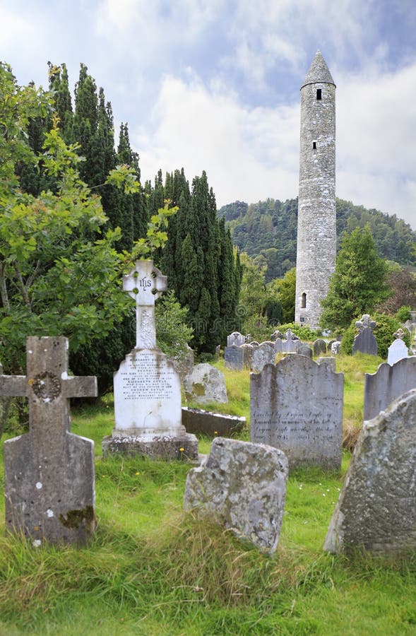 Childrens Burial GdBurial ground · 176 yd
 Carrigaphooca Bridgebridge · 1052 yd
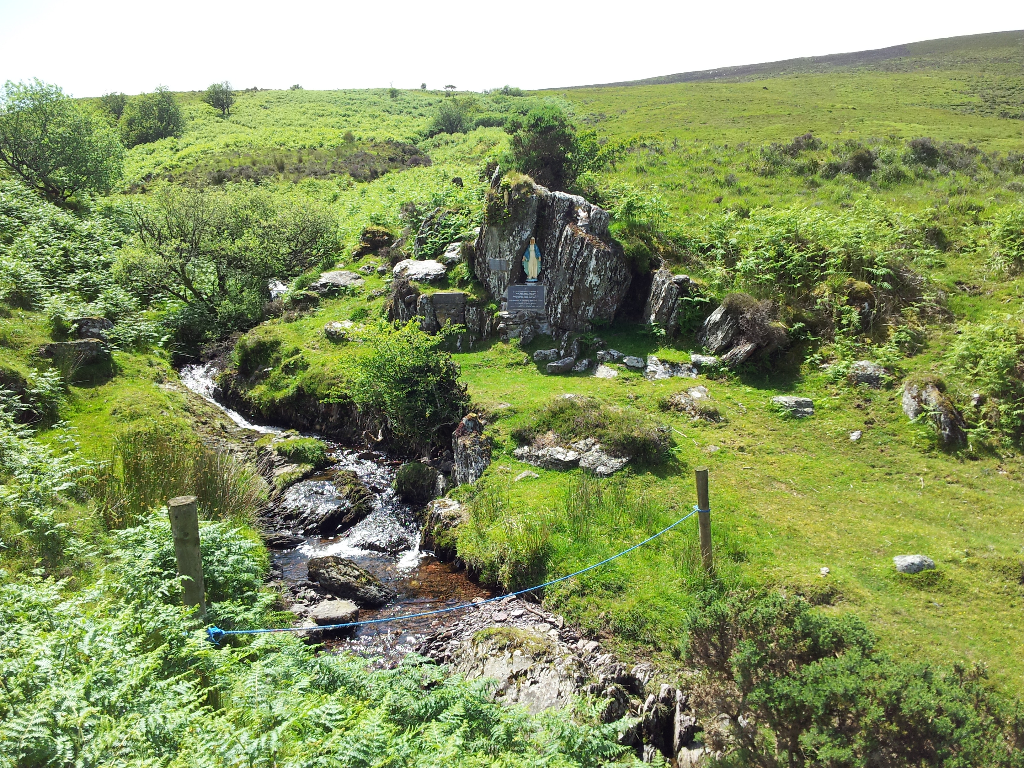 Mass RockMass-rock · 1103 yd
 Carrigaphooca CastleCastle · 1201 yd
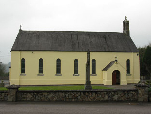 St Abina's Roman Catholic Churchchurch/chapel · 1522 yd
 Curraheen WoodWood · 1.4 mi
 Dundareirke Castle (in Ruins)Castle, tower house · 1.8 mi
 Neill's WoodWood · 2.4 mi
 Macroom WalksVisitor information · 3.1 mi
 Battle of Macroombattle · 3.3 mi
 Clonavrick CliffCliff · 4.2 mi
 Cnoc na nUlán (mullach thoir)Mountain / peak · 4.6 mi