What is recorded here
On a hummock in marshy grassland. When inspected in June 1984 this poorly preserved almost square enclosure (22m NW-SE; 21m NE-SW) was defined by a stony earthen bank along the S, W and N sides and by a scarp along the E side. Numerous trees that had been growing on it had been felled. The current OSi digitalglobe aerial photography (March 2016) indicates that the monument has since been levelled.
Compiled by: Galway Archaeological Survey, UCG
Date of upload: 2 April 2019
The monument record does not grant public access. Check the route and ask the landowner before entering private land.
- What survives
- Recorded monument
Places near here
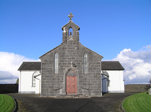 Catholic Church of Christ the Kingchurch/chapel · 1402 yd
 shrine/oratory/grottoshrine/oratory/grotto · 1437 yd
 St. Bridgets WellHoly well · 1694 yd
 LisnapeakFairy fort / earthen ringfort · 1.2 mi
 Longford Castle (in ruins)Castle, unclassified · 3.4 mi
 MoatCastle, motte and bailey · 3.6 mi
 Silver FirSilver Fir · 3.6 mi
 European YewEuropean Yew · 3.8 mi
 Redmond HillMountain / peak · 4.5 mi
 Ballymacegan IslandIsland · 5.2 mi
 Long IslandIsland · 5.5 mi
 The bloody HollowHeritage attraction · 7.4 mi