What is recorded here
Situated on a SW-facing slope of a slight NE-SW ridge. An oval area (dims. 22m N–S; 8m E–W) of burnt and cracked stones is visible when the field is ploughed.
The above description is derived from the published 'Archaeological Inventory of County Wexford' (Dublin: Stationery Office, 1996). In certain instances the entries have been revised and updated in the light of recent research.
Compiled by: Michael Moore
Date of upload/revision: 7 June, 2012
Burnt mound, likely dating to the Neolithic or early Bronze Age. Such features are commonly associated with ritual or industrial activities, though their exact function remains debated.
The monument record does not grant public access. Check the route and ask the landowner before entering private land.
- What survives
- Recorded monument
Places near here
 Font in KillabegFont · 417 yd
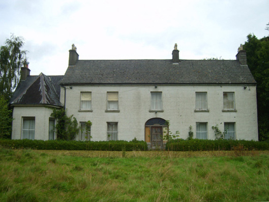 Killabeg Housefarm house · 1063 yd
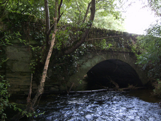 Crane Bridgebridge · 1304 yd
 U.N. Peace MemorialMonument · 3.6 mi
 Duffry GateMemorial · 3.7 mi
 Battle of Vinegar HillMajor battlefield · 3.7 mi
 National 1798 CentreMuseum · 4.0 mi
 Daphney CastleCastle, unclassified · 4.7 mi
 Pedunculate OakPedunculate Oak · 5.4 mi
 CastleCastle, ringwork · 5.7 mi
 European LarchEuropean Larch · 5.9 mi