What is recorded here
Located towards the bottom of a W-facing slope in the valley of the NE-SW River Bann with the stream c. 100m to the W and c. 600m from its confluence with the NW-SE River Slaney. This is an overgrown earth and stone mound (diam. 15m; H 1.5–2m) with traces of a kerb protruding through the mound from W–N. The standing stone (WX020-002001-) is c. 10m to W, and the flat cemetery (WX020-001----) is c. 300m to the NW on the other side of the River Bann.
The above description is derived from the published 'Archaeological Inventory of County Wexford' (Dublin: Stationery Office, 1996). In certain instances the entries have been revised and updated in the light of recent research.
Compiled by: Michael Moore
Date of upload/revision: 31 May, 2012
The monument record does not grant public access. Check the route and ask the landowner before entering private land.
- What survives
- Recorded monument
Places near here
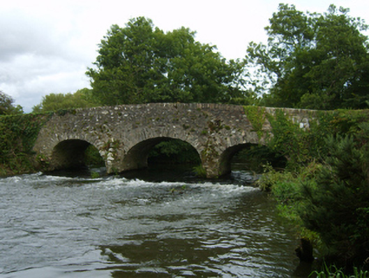 Bann Bridgebridge · 392 yd
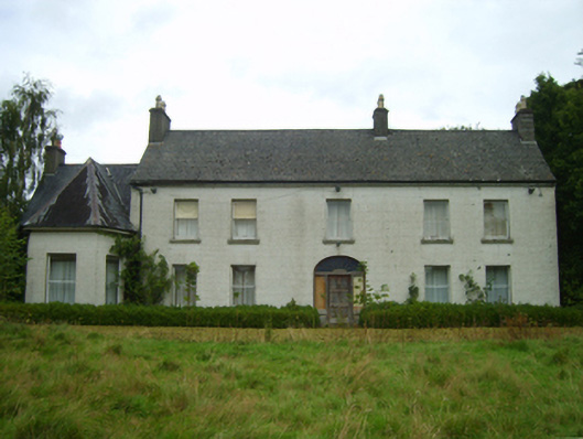 Killabeg Housefarm house · 630 yd
 Fulacht fia in BallynahallinFulacht fia · 1638 yd
 U.N. Peace MemorialMonument · 3.3 mi
 Duffry GateMemorial · 3.4 mi
 Battle of Vinegar HillMajor battlefield · 3.4 mi
 National 1798 CentreMuseum · 3.7 mi
 Daphney CastleCastle, unclassified · 4.2 mi
 Pedunculate OakPedunculate Oak · 4.6 mi
 European LarchEuropean Larch · 5.4 mi
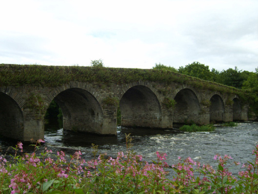 Scarawalsh Bridgebridge · 773 yd