
What is recorded here
Kill Burial Ground is a nameless rectangular chamber in County Cork where a stone wall, rock outcrop and quiet pasture still hold the dead. It measures eighteen metres east to west and seven metres north to south, yet no marker breaks the grass to tell whose bones lie beneath. The absence of graves makes the boundary more striking, as if the land itself remembers what people stopped naming.
In pasture on S-facing slope just S of burial ground (CO135-010002-). Rectangular area (18m E-W; 7m N-S) defined by stone wall to W and N and rock outcrop to E and S. No grave markers noted.
The above description is derived from the published 'Archaeological Inventory of County Cork. Volume 1: West Cork' (Dublin: Stationery Office, 1992). In certain instances the entries have been revised and updated in the light of recent research.
Date of upload/revision: 14 January 2009
The monument record does not grant public access. Check the route and ask the landowner before entering private land.
- What survives
- Recorded monument
Places near here
 CaveMan-made underground passage · 48 yd
 Tuck MillMilling complex · 968 yd
 Castle (Site of)Castle, unclassified · 988 yd
 Kilgarrif Church (in Ruins)Church · 1715 yd
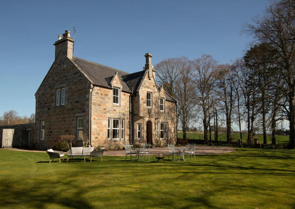 Country house in Letter (carbery East (w.d) By.)Country house · 1.1 mi
 Clonakilty Blackpudding Visitor CentreHeritage attraction · 1.8 mi
 Clasharusheen Mansion (Site of)Castle, unclassified · 2.0 mi
 Cloch na gCoillteMemorial · 2.1 mi
 Michael Collins House MuseumMuseum · 2.1 mi
 Clonakilty Tourist OfficeVisitor information · 2.2 mi
 Battle of the Big Cross (1798) Memorial MonumentMonument · 2.5 mi
 Michael Collins MemorialMemorial · 2.7 mi
Other information
Photo: Credit not shown in the picture search · Rights wording not checked; contact us if this picture should be removed