
What is recorded here
Kilgrogan Grave Yard is a rectangular limestone enclosure on a south-facing slope in County Cork, still receiving the dead nearly two centuries after its earliest known stone was set in 1794. The path marked on a 1936 map has vanished beneath tillage, leaving only the western entrance with its tall cut-stone piers to announce the site. Inside, vegetation presses against headstones spanning from 1794 to 1987, suggesting the buried parish church did not disappear so much as withdraw beneath grass and patience.
In tillage, on S-facing slope; pathway shown approaching site on 1936 OS 6-inch map no longer evident. Rectangular graveyard (28m N-S; 31m E-W) enclosed by well-built limestone wall; entrance to W with tall cut-stone piers. Interior overgrown; earliest headstone noted dated 1794; in occasional use, most recent headstone dated 1987. Probably once contained parish church of Kilgrogan.
The above description is derived from the published 'Archaeological Inventory of County Cork. Volume 4: North Cork' (Dublin: Stationery Office, 2000). In certain instances the entries have been revised and updated in the light of recent research.
Date of upload/revision: 14 January 2009
The monument record does not grant public access. Check the route and ask the landowner before entering private land.
- What survives
- Recorded monument
Places near here
 Annagh Bridgebridge · 546 yd
 Castle (Site of)Castle, unclassified · 548 yd
 Enclosure in Rath (orrery and Kilmore By.)Enclosure · 1004 yd
 Windmill HillMountain / peak · 1024 yd
 TumulusMound · 1109 yd
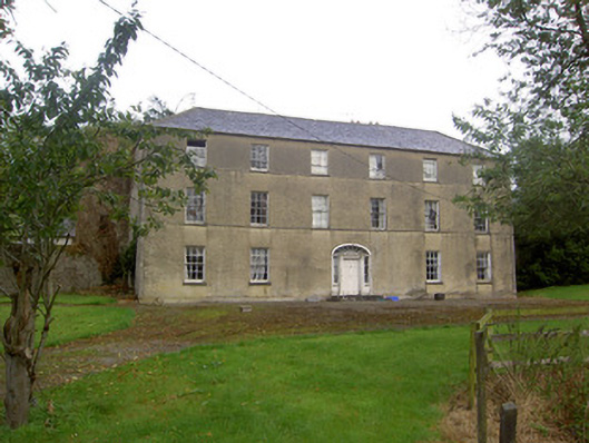 Churchtown Housecountry house · 1578 yd
 Ballyhoura WayWalking route · 1.1 mi
 CastleCastle, motte · 2.2 mi
 Churchtown TrailsVisitor information · 2.4 mi
 Battle of LiscarrollMajor battlefield · 3.5 mi
 Buttevant Rail DisasterMemorial · 3.9 mi
 Lady's WellSpring · 4.1 mi
Other information
Photo: Credit not shown in the picture search · Rights wording not checked; contact us if this picture should be removed