What is recorded here
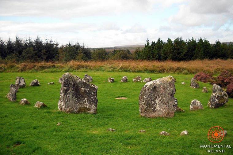
Kildromin holds an almost square moated site on wet pasture, bordered by a surviving bank and external fosse. It sits beside a ring-barrow and St Bridget’s holy well, as if domestic life, burial and prayer had all claimed the same damp ground. The shape still resists the drain and pasture around it, preserving a small inhabited world that ordinary carts and fields long stopped noticing.
On low lying wet pasture, cut by land drains and watercourses, 80m E of a land drain and 180m N of a townland boundary with Ballinlough. Ring-barrow (LI032-303----) lies 140m to NNE and St Bridget’s holy well (LI032-111----) lies 180m to S. Not depicted on OSi historic maps. Monument identified by the Bruff aerial photographic survey in 1986 (Bruff 164: AP 4/3611) as a rectangular-shaped earthwork. Upstanding monument is clearly visible as an almost square-shaped earthwork (16m NE-SW; 15m NW-SE) enclosed by the remains of a bank (approx. Wth 4m) and an external fosse (Wth 4m), as seen on OSi orthoimage taken 2005-2012, on Digital Globe orthoimage taken 2011-2013 and on Google Earth orthoimage taken 20/09/2020.
See attached Google Earth orthoimage and Bruff aerial survey image labelled 164
Compiled by: Alison McQueen and Vera Rahilly
Date of upload: 19 November 2020
See attached ASI aerial photograph ASIAP - 331/22 taken on 05/10/2002.
The monument record does not grant public access. Check the route and ask the landowner before entering private land.
- What survives
- Recorded monument
Places near here
 BarrowBarrow, ring-barrow · 176 yd
 St Bridgets WellHoly well · 221 yd
 Ballinlough Church (in ruins)Church · 1065 yd
 Kilteely HillMountain / peak · 1234 yd
 The Presbyteryhouse · 1286 yd
 St. Patrick's WellSpring · 1596 yd
 Carrickittle RockCastle, unclassified · 1.7 mi
 CashlanCastle, unclassified · 1.8 mi
 KnockseefinMountain / peak · 3.6 mi
 Flat cemetery in Knockainy WestFlat cemetery · 3.7 mi
 St Patrick's WellSpring · 6.3 mi
 Ballinvreena LoopVisitor information · 9.0 mi