What is recorded here
Indicated is a roughly circular ecclesiastical enclosure in hilly County Cork pasture, divided into three unequal parts by low earthen banks. A burial ground occupies the northeast quadrant, a well sits in the southwest, and a small mound joined to the south bank marks the edge of the sacred space. The disused roadway on the east and the shallow western fosse suggest the site remained visible and used long after its religious purpose faded.
In hilly pasture, on SSW-facing slope. Roughly circular area (147m N-S; 136m E-W) enclosed by earthen bank (H 1.8m); shallow external fosse to W; gateway to NW. Disused roadway bounds enclosure on E. Interior sub-divived by low earthen bank (max. H 1m) into three unequal parts. Burial ground (CO121-008002-) in NE quadrant. Interior features: (1). Well in SW quadrant. (2). Just W of centre, circular area (diam. 8m) enclosed by grass-covered earth and stone bank (H 0.8m; Wth 2m) (CO121-085----). (3). In SW quadrant close to ESE bank, subrectangular area (16m N-S; 10m E-W) (CO121-084----) defined by earth and stone bank (H 0.6m), heavily overgrown. (4). Small mound (CO121-008003-) inside and joined to S bank by low rise. Concentration of metal slag at base of bank here.
The above description is derived from the published 'Archaeological Inventory of County Cork. Volume 1: West Cork' (Dublin: Stationery Office, 1992). In certain instances the entries have been revised and updated in the light of recent research.
Date of upload/revision: 14 January 2009
The monument record does not grant public access. Check the route and ask the landowner before entering private land.
- What survives
- Recorded monument
Places near here
 Kill Burial Gd (Disused)Burial ground · 31 yd
 Enclosure in KildeeEnclosure · 51 yd
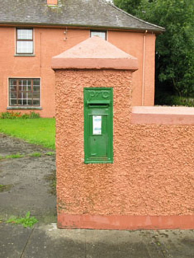 post boxpost box · 724 yd
 Bealanascartane Bridgebridge · 1.5 mi
 Ballinvard CastleCastle · 1.8 mi
 Ballynacarriga CastleCastle, tower house · 1.8 mi
 Mohona WoodWood · 3.7 mi
 Corran HillMountain / peak · 3.7 mi
 Irish National Forestry FoundationNature reserve · 3.8 mi
 Jeremiah O'Donovan RossaMemorial · 3.8 mi
 Cross commemorating Holy Day.Memorial · 3.8 mi
 CarrigfaddaMountain / peak · 3.9 mi