
What is recorded here
In NE quadrant of early ecclesiastical enclosure (CO121-008001-). Marked 'Kill Burial Gd.' on OS 6-inch map (1842). Rectangular area (41.5m E-W; 30m N-S) enclosed by low grass-covered bank (H 0.6m). Scatter of small stones in interior. Circular rise (diam. 6m; H 0.2m) at W end.
The above description is derived from the published 'Archaeological Inventory of County Cork. Volume 1: West Cork' (Dublin: Stationery Office, 1992). In certain instances the entries have been revised and updated in the light of recent research.
Date of upload/revision: 14 January 2009
Possible early Christian burial ground, 6th–10th century AD, associated with adjacent ecclesiastical enclosure. Its location and date suggest a connection to monastic or communal burial practices in the region.
The monument record does not grant public access. Check the route and ask the landowner before entering private land.
- What survives
- Recorded monument
Places near here
 Enclosure in KildeeEnclosure · 45 yd
 Mound in KildeeMound · 91 yd
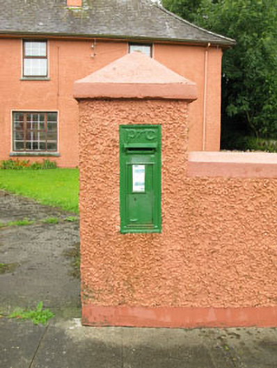 post boxpost box · 715 yd
 Bealanascartane Bridgebridge · 1.5 mi
 Ballinvard CastleCastle · 1.8 mi
 Ballynacarriga CastleCastle, tower house · 1.8 mi
 Corran HillMountain / peak · 3.7 mi
 Mohona WoodWood · 3.7 mi
 Irish National Forestry FoundationNature reserve · 3.8 mi
 Jeremiah O'Donovan RossaMemorial · 3.8 mi
 Cross commemorating Holy Day.Memorial · 3.9 mi
 CarrigfaddaMountain / peak · 4.0 mi
Other information
Photo: Credit not shown in the picture search · Rights wording not checked; contact us if this picture should be removed