What is recorded here
Kilcurly is a man-made underground passage in County Louth, Ireland. It is no longer there to visit. What remains is only the shape of its absence: a hidden tunnel, deliberately built, lost before it could be known. That is the edge of the story.
The following description is derived from both the published 'Archaeological Inventory of County Louth' (Dublin: Stationery Office, 1986) and the 'Archaeological Survey of County Louth' (Dublin: Stationery Office, 1991). In certain instances the entries have been revised and updated in the light of recent research.
Date of upload/revision: 17 July 2007
Located on E slope of a drumlin. Discovered and subsequently destroyed during land reclamation in 1987. Located 8m NE of LH006-110002- and consisted of a curving drystone-built passage (L c. 9m) orientated E-W. The passage descended from the original entrance at the E down to the W end, where the S wall stood to a height of 1.5m.
The monument record does not grant public access. Check the route and ask the landowner before entering private land.
- What survives
- Recorded monument
Places near here
 Man-made underground passage in DonaghmoreMan-made underground passage · 420 yd
 IndicatedEnclosure · 434 yd
 Catholic Church of the Immaculate Conceptionchurch/chapel · 863 yd
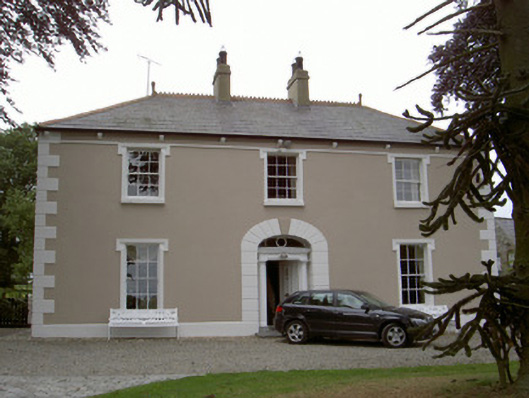 Killycroney Househouse · 1.5 mi
 Dun DealganCastle, motte and bailey · 1.6 mi
 Castletown MotteArchaeological place · 1.6 mi
 BallybarrackMountain / peak · 1.9 mi
 Photo GalleryHeritage attraction · 2.0 mi
 Dundalk CentralHeritage attraction · 2.0 mi
 Maid of ErinMemorial · 2.5 mi
 Bombing 1975Memorial · 2.5 mi
 Sky HillMountain / peak · 3.9 mi