What is recorded here
In rough, wet pasture, cut by land drains and watercourses, 170m W of a townland boundary with Ragamus. Not depicted on OSi historic maps. Monument identified by the Bruff aerial photographic survey in 1986 (Bruff 217.01 & 217.02: AP 5/2013) as a roughly circular-shaped earthwork having a smaller, unidentifiable earthwork within the N quadrant of the interior. Monument is visible as a roughly circular-shaped cropmark (37m E-W; 35m N-S) on OSi orthoimage taken 2005-2012, on Digital Globe orthoimage taken 2011-2013 and on Google Earth orthoimages taken 05/04/2006, 04/04/2013 and 28/06/2018.
See attached Google Earth orthoimages taken 05/04/2006, 04/04/2013 and 28/06/2018 and Bruff aerial survey image labelled 217.01 & 217.02
Compiled by: Alison McQueen and Vera Rahilly
Date of upload: 16 November 2020
The monument record does not grant public access. Check the route and ask the landowner before entering private land.
- What survives
- Recorded monument
Places near here
 Enclosure in PatrickswellEnclosure · 934 yd
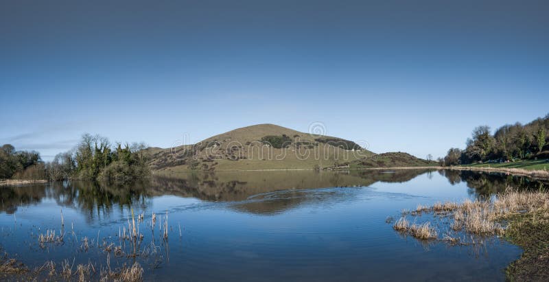 Crannog in RagamusCrannog · 1016 yd
 Bawn in Ballinscoola (smallcounty By., Cahercorney Ed)Bawn · 1228 yd
 Glen BogForest · 1321 yd
 Old Parochial Housepresbytery/parochial/curate's house · 1545 yd
 KnockainyMountain / peak · 1.0 mi
 Church (in ruins)Church · 1.2 mi
 Castle (in ruins)Castle, unclassified · 1.2 mi
 Flat cemetery in Knockainy WestFlat cemetery · 1.9 mi
 Pedunculate OakPedunculate Oak · 2.4 mi
 Kilteely HillMountain / peak · 4.1 mi
 St. Patrick's WellSpring · 4.4 mi