What is recorded here
Half a kilometre west of Kilcoosy, a buried ring stands on a steep slope, its earth bank still thick enough to block the sky. People called it a fairy fort because the shape refused explanation, but the stones suggest human hands, perhaps a family homestead abandoned before memory faded. The fairies may have inherited the hole rather than dug it, taking the darkness and leaving the people behind.
Located towards the top of a steep E-facing slope in pasture. This is an overgrown subcircular area (dims 23m N-S; 20m E-W) defined by an earth and stone bank (at W: Wth 4.3m; int. H 1.3m; ext. H 0.3m) S-N (upslope), which is reduced to a stony scarp (H 0.5m) elsewhere. There is no visible fosse or identifiable original entrance. Rath (LE015-02----) is c. 80m to the W.
The above description is derived from 'The Archaeological Inventory of County Leitrim' compiled by Michael J. Moore (Dublin: Stationery Office, 2003). In certain instances the entries have been revised and updated in the light of recent research.
Date of upload: 23 September 2008
The monument record does not grant public access. Check the route and ask the landowner before entering private land.
- What survives
- Recorded monument
Places near here
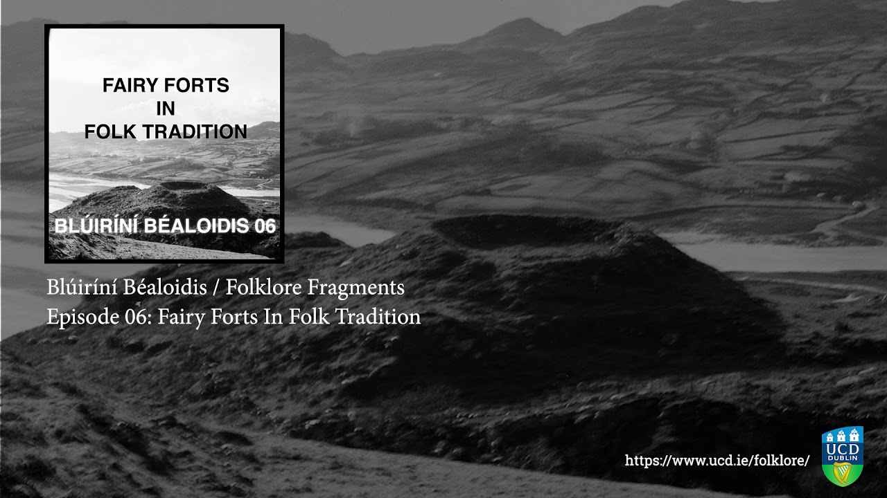 Fairy fort / earthen ringfort in SocksFairy fort / earthen ringfort · 608 yd
 IndicatedFairy fort / earthen ringfort · 783 yd
 Green IslandIslet · 1381 yd
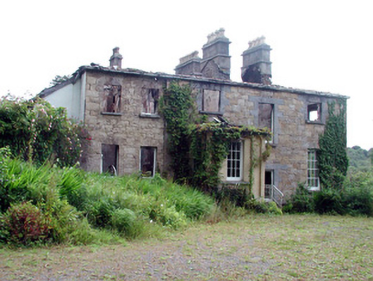 Drumlease Glebe Houserectory/glebe/vicarage/curate's house · 1.1 mi
 Kilcoosey National Schoolschool · 1.1 mi
 Old HallCastle, hall-house · 2.3 mi
 BenboMountain / peak · 3.2 mi
 Doonbran Isd.Bawn · 3.5 mi
 Cullentra ForestForest · 3.8 mi
 Parke's CastleHeritage attraction · 3.8 mi
 Giants RockNamed rock · 4.1 mi
 Trawane BayBay · 4.3 mi