What is recorded here
Kilcommadan was a chief coarbship of Hy Many, ranking among seven sacred sites before pasture and quarry cut through its ring. The enclosure still measures more than thirty-eight metres across, though reclamation and trackways have erased much of the bank. What remains is a broken line on a sunny slope, large enough to hold a congregation but worn smooth by time and plough.
On a SE-facing slope in recently reclaimed pastureland. According to Gwynn and Hadcock (1970, 389), this was an 'early site' and OS Letters (O'Flanagan 1927, Vol. 1, 566) record that the 'church of Kilcommadan [was] 'one of the seven chief Coarbships [of Hy Many]'. What survives is a large but poorly preserved subcircular enclosure (ESE-WNW >38m, NNE-SSW >13.5m). Due to reclamation, it is now clearly defined only from NW through N to ENE, where traces of a degraded earthen bank are visible. There is a quarry pit on its line at E and a modern field boundary and trackways dissect the interior. A church site (GA087-126002-) and a CBG (GA087-126003-) are associated.
The above description is derived from the published 'Archaeological Inventory of County Galway Vol. II - North Galway'. Compiled by Olive Alcock, Kathy de hÓra and Paul Gosling (Dublin: Stationery Office, 1999).
Date of upload: 05 August 2010
The monument record does not grant public access. Check the route and ask the landowner before entering private land.
- What survives
- Recorded monument
Places near here
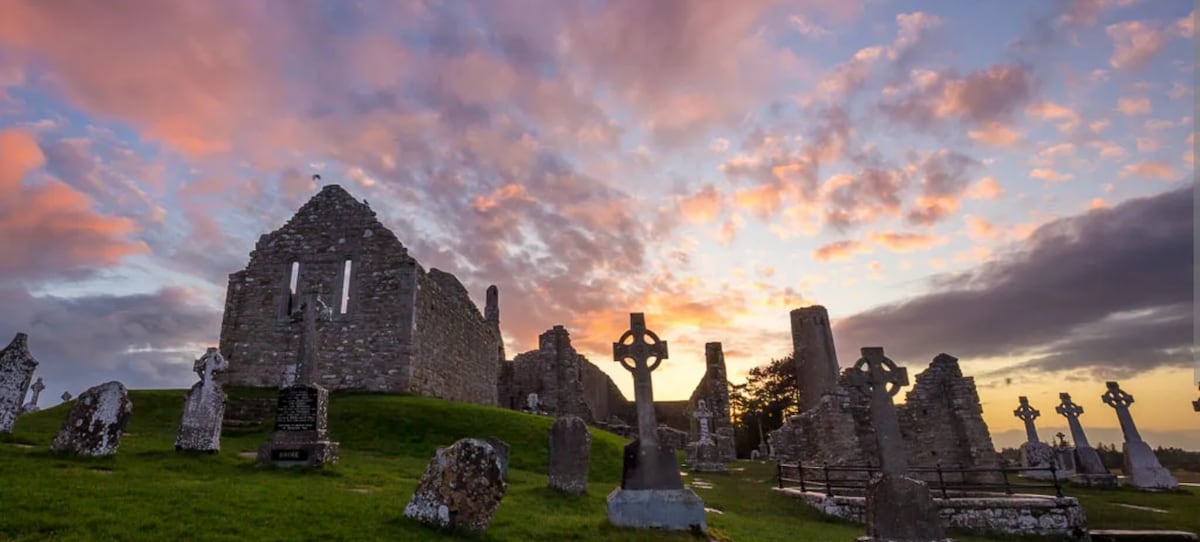 Site of Kilcommadan ChurchChurch · 9 yd
 St. Commadans Holy WellHoly well · 324 yd
 Battle of AughrimMajor battlefield · 1036 yd
 The bloody HollowHeritage attraction · 1127 yd
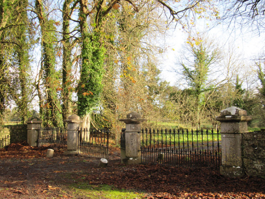 Liskelly Housedemesne walls/gates/railings · 1165 yd
 Battle of Aughrim Interpretative CentreMuseum · 1.1 mi
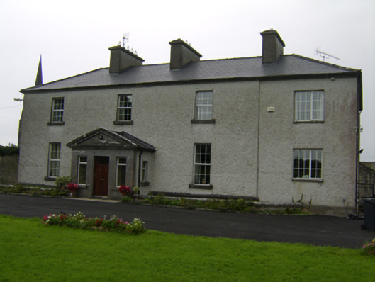 The Rectoryrectory/glebe/vicarage/curate's house · 1.2 mi
 Castle (Site of)Castle, Anglo-Norman masonry castle · 1.3 mi
 Urraghry HillMountain / peak · 1.7 mi
 Ballagh Castle (in Ruins)Castle, unclassified · 2.0 mi
 Oak WoodWood · 2.0 mi
 West WoodWood · 3.0 mi