What is recorded here
Kilcloggan. ITM 676007, 604320) OD 030-040; 0100-0200 Situated on a fairly level landscape. The vegetation mark of a circular enclosure (diam. c. 45m) defined by a single wide feature (Wth c. 5m) is visible in grass on a Google Earth image (2005), but the defining feature is largely absent N-NE.
Compiled by: Michael Moore
Date of upload: 5 January, 2014
The monument record does not grant public access. Check the route and ask the landowner before entering private land.
- What survives
- Recorded monument
Places near here
 Not inidcatedBawn · 525 yd
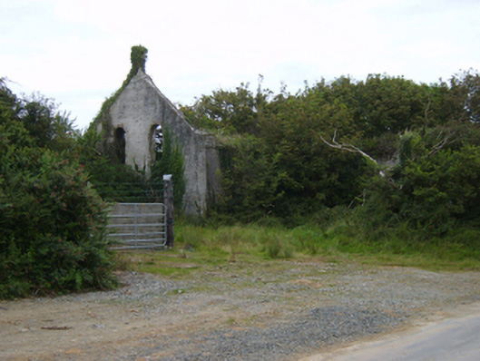 Templetown Catholic Chapelchurch/chapel · 579 yd
 ToberlukeHoly well · 805 yd
 Old Templar ChurchRuins · 889 yd
 IndicatedCastle, ringwork · 984 yd
 Templetown Bay BeachBeach / strand · 1271 yd
 Enclosure in LewistownEnclosure · 1350 yd
 Dollar Bay BeachBeach / strand · 1.0 mi
 Carricjmore CliffCliff · 1.5 mi
 AshgroveVisitor information · 2.0 mi
 Long RockNamed rock · 2.6 mi
 Duncannon BeachVisitor information · 3.1 mi