What is recorded here
No visible stones, no broken wall, no trench edge. The land itself has forgotten the shape, yet the old maps still draw a round hole thirty-five metres wide on the ridge. That is the fair part: a fort large enough to hold a village, now absent from the field like a name removed from a ledger.
In tillage atop E-W ridge. Hachured as circular enclosure on all three OS 6-inch maps (diam. c. 35m); fosse shown E->W on 1904 and 1935 maps. No visible surface trace.
The above description is derived from the published 'Archaeological Inventory of County Cork. Volume 2: East and South Cork' (Dublin: Stationery Office, 1994). In certain instances the entries have been revised and updated in the light of recent research.
Date of upload/revision: 14 January 2009
The monument record does not grant public access. Check the route and ask the landowner before entering private land.
- What survives
- Recorded monument
Places near here
 Folacht FiadhFulacht fia · 564 yd
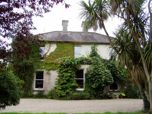 Conna Househouse · 1308 yd
 Fulacht fia in Kilclare UpperFulacht fia · 1332 yd
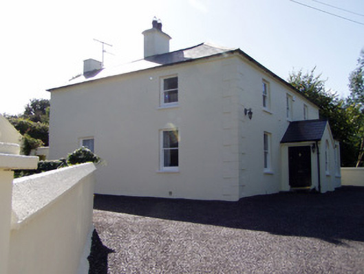 presbytery/parochial/curate's housepresbytery/parochial/curate's house · 1468 yd
 Aghern CemeteryWood · 1.0 mi
 Castlebrook forestWood · 1.2 mi
 Conna CastleCastle · 1.3 mi
 Conna Castle (in Ruins)Castle, tower house · 1.3 mi
 Graveyard in Curraheen (kinnatalloon By.)Graveyard · 1.8 mi
 Graveyard in KillasseraghGraveyard · 3.1 mi
 Coole WellVisitor information · 3.9 mi
 Salt HillMountain / peak · 4.2 mi