What is recorded here
Located on the flat bottom of a small N-S valley with a small N-S stream c. 10m to the W. This is an almost circular area (diam. 30m NE-SW) in mixed woodland with one square corner at the SE. It is defined by a slight earthen bank (Wth 5-6m; int. H 0.5m; ext. H 1.6m) and a flat-bottomed moat (Wth of top 6-6.5m; Wth of base 2.8-3.2m; D 0.4m at SW to 1.7m at NE). There is a causeway (Wth 2.2m) with a stone revetment at NE. Archaeological testing (04E1676) in two fields to the W, c. 20m distant at the closest point failed to produce archaeological material (Noonan 2005; xxcavations.ie 2004:1815).
The above description is derived from the published 'Archaeological Inventory of County Wexford' (Dublin: Stationery Office, 1996). In certain instances the entries have been revised and updated in the light of recent research.
Compiled by: Michael Moore
Date of revision: 13 September, 2012
Amended: 30 November 2020
The monument record does not grant public access. Check the route and ask the landowner before entering private land.
- What survives
- Recorded monument
Places near here
 Abbey (site of)Ecclesiastical site · 204 yd
 Embanked enclosureFairy fort / earthen ringfort · 288 yd
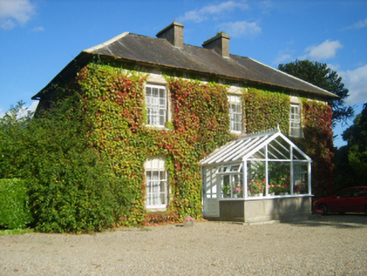 Hillview Housefarm house · 781 yd
 site of CastleCastle, unclassified · 1.1 mi
 Arnestown Housefarm house · 1.2 mi
 Castle (in ruins)Castle, tower house · 1.4 mi
 SlievecoiltiaMountain / peak · 1.4 mi
 Devon whitebeamDevon whitebeam · 1.8 mi
 The Croppy GroveMemorial · 2.0 mi
 Camlin HillMountain / peak · 2.1 mi
 Garden of RemembranceMemorial · 2.1 mi
 Kelly's WoodForest · 2.2 mi