What is recorded here
Kilboultragh, the church of mud mortar, marked a circular enclosure about 120 metres wide on the 1842 map, with a children's burial ground tucked into its south-east quadrant. The field pattern changed by 1903, erasing the visible boundary but not the purpose of the ground. Mud, not stone, may have built the chapel, fitting a place where small bones rested and ordinary farmers walked past without knowing what they covered.
Roughly circular field pattern (diam. c 120m) shown on 1842 OS 6-inch map enclosing children's burial ground (9340) which is located in SE quadrant. Field pattern changed by 1903 OS 6-inch map. O'Donughue (1986, 226) translated Kilboultragh as 'Cill Boultragh - Church of the mud mortar or mud mixture'.
The above description is derived from the published 'Archaeological Inventory of County Cork. Volume 3: Mid Cork' (Dublin: Stationery Office, 1997). In certain instances the entries have been revised and updated in the light of recent research.
Date of upload/revision: 14 January 2009
The monument record does not grant public access. Check the route and ask the landowner before entering private land.
- What survives
- Recorded monument
Places near here
 Neill's WoodWood · 693 yd
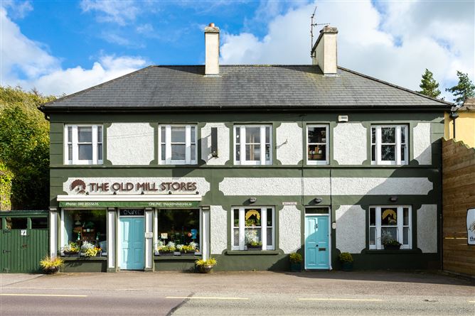 Old MillMill, unclassified · 1401 yd
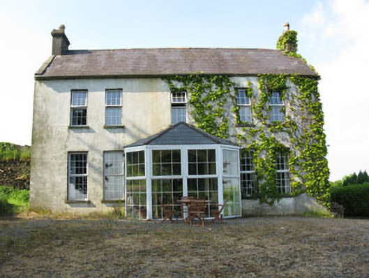 Mount Crosshouse · 1603 yd
 Grave YdGraveyard · 1.3 mi
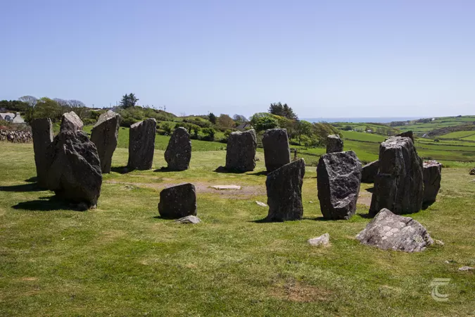 Stone CircleField boundary · 1.3 mi
 Clonavrick CliffCliff · 1.8 mi
 Macroom WalksVisitor information · 1.9 mi
 Macroom Castle (in Ruins)Castle, tower house · 2.0 mi
 Battle of Macroombattle · 2.1 mi
 Curraheen WoodWood · 2.6 mi
 Carrigaphooca CastleCastle · 2.7 mi
 BurrenMountain / peak · 3.5 mi